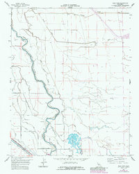
1962 Map of Poso Farm
USGS Topo · Published 1984About this map
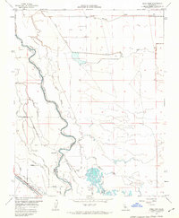
Poso Farm and the surrounding agricultural lands straddle the boundary of Madera and Fresno counties, defined by the winding course of the San Joaquin River. This 1962 survey, updated in the early 1980s, reveals a complex irrigation and drainage network essential to Central Valley farming, featuring the Columbia Canal, Central Canal, and numerous sloughs like Berenda Slough and Lone Willow Slough. The landscape is a grid of section lines and access roads such as Oxalis Ave and Silaxo Ave, punctuated by storage bins and isolated wells.
Find a feature on this map
24 named features on this map. Tap any name to fly to it.
Don’t see what you’re looking for? This feature index may not catch every label — zoom into the map to look around manually.
Map Details
Editions of this 1962 Poso Farm Map
2 editions found
Other maps of this area

1913 · Panoche
USGS Topo · 1:125,000

1916 · Santa Rita Bridge
USGS Topo · 1:24,000

1918 · Bliss Ranch
USGS Topo · 1:31,680

1918 · Chowchilla
USGS Topo · 1:31,680

1920 · Santa Rita Bridge
USGS Topo · 1:31,680

1921 · Mendota
USGS Topo · 1:31,680

1922 · Oxalis
USGS Topo · 1:31,680

1922 · Santa Rita Bridge
USGS Topo · 1:31,680

1922 · Pozo Farm
USGS Topo · 1:31,680

1922 · Kentucky Well
USGS Topo · 1:31,680