Loading...
Loading map...2024 Map of Post Falls
USGS Topo · Published 2024About this map
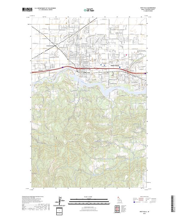
Post Falls serves as the central hub of this northern Idaho landscape, where the Spokane River carves through the terrain below the Rathdrum Prairie. The map illustrates a dense network of residential and arterial roads, such as W Polo Green Ave and W Seltice Way, reflecting the modern expansion of communities like McGuire, Ross Point, and Grand Junction.
Find a feature on this map
102 named features on this map. Tap any name to fly to it.
Don’t see what you’re looking for? This feature index may not catch every label — zoom into the map to look around manually.
Map Details
Date Portrayed2024
Date Published2024
PublisherU.S. Geological Survey
Map TypeTopographic
Scale1:24000
Physical Dimensions24 x 29 inches
Editions of this 2024 Post Falls Map
This is the sole edition of this map. No revisions or reprints were ever made.
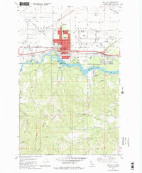
Historical Maps of Post Falls Through Time
Featured Locations
Source Details
SourceU.S. Geological Survey
CopyrightPublic Domain