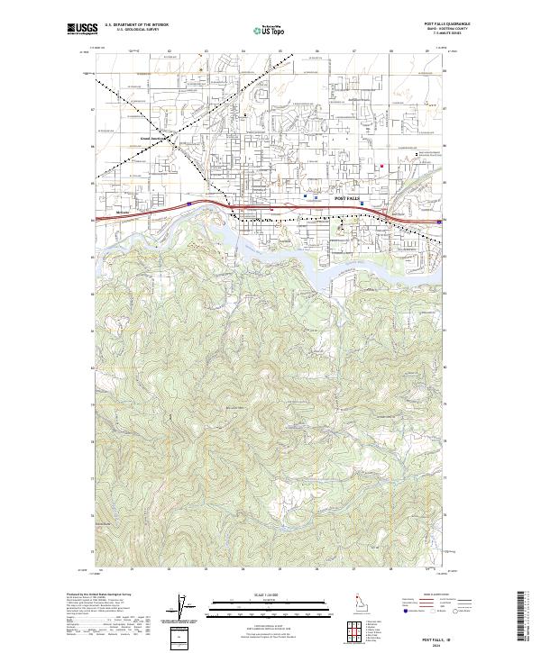
2024 Map of Post Falls
USGS Topo · Published 2024About this map
Post Falls serves as the central hub of this northern Idaho landscape, where the Spokane River carves through the terrain below the Rathdrum Prairie. The map illustrates a dense network of residential and arterial roads, such as W Polo Green Ave and W Seltice Way, reflecting the modern expansion of communities like McGuire, Ross Point, and Grand Junction.
Find a feature on this map
102 named features on this map. Tap any name to fly to it.
Don’t see what you’re looking for? This feature index may not catch every label — zoom into the map to look around manually.
Map Details
Editions of this 2024 Post Falls Map
This is the sole edition of this map. No revisions or reprints were ever made.
Other maps of this area

1901 · Spokane
USGS Topo · 1:125,000

1903 · Rathdrum
USGS Topo · 1:125,000

1943 · Mt Spokane
USGS Topo · 1:62,500

1949 · Greenacres
USGS Topo · 1:62,500

1950 · Mt Spokane
USGS Topo · 1:62,500

1951 · Greenacres
USGS Topo · 1:62,500

1955 · Spokane
USGS Topo · 1:250,000

1957 · Coeur D'Alene
USGS Topo · 1:62,500

1958 · Spokane
USGS Topo · 1:250,000

1961 · Hayden
USGS Topo · 1:24,000