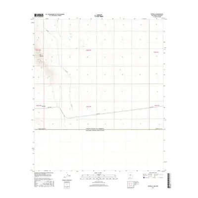
2017 Map of Potrillo
USGS Topo · Published 2017About this map
East Potrillo Mountains rise sharply in the western portion of this quadrangle, defining the topographical character of this borderland region. The settlement of Potrillo and the isolated Gerrys Tank represent the sparse human presence in an environment largely shaped by arid basins and high desert elevations. This 2017 survey captures the landscape just north of the international boundary between the United States of America and Mexico, a line that separates New Mexico from Chihuahua. A network of rural routes, including A003 Co Rd and A 008 Co Rd, provides the primary access through the desert flats, connecting the mountain foothills to the broader infrastructure of Doña Ana County.
Find a feature on this map
16 named features on this map. Tap any name to fly to it.
Don’t see what you’re looking for? This feature index may not catch every label — zoom into the map to look around manually.
Map Details
Editions of this 2017 Potrillo Map
This is the sole edition of this map. No revisions or reprints were ever made.
Other maps of this area

1917 · Noria
USGS Topo · 1:62,500

1917 · Mt. Riley
USGS Topo · 1:62,500

1918 · Mt. Riley
USGS Topo · 1:62,500

1918 · Noria
USGS Topo · 1:62,500

1929 · Mt. Riley
USGS Topo · 1:62,500

1951 · Mt. Riley
USGS Topo · 1:62,500

1953 · El Paso
USGS Topo · 1:250,000

1959 · El Paso
USGS Topo · 1:250,000

1964 · El Paso
USGS Topo · 1:250,000

1965 · El Paso
USGS Topo · 1:250,000