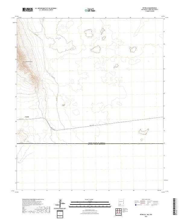
2023 Map of Potrillo
USGS Topo · Published 2023About this map
The high desert terrain of the East Potrillo Mountains dominates the western edge of this 2023 survey in southern Doña Ana County. This landscape represents a significant portion of the Organ Mountains-Desert Peaks National Monument, where the topography drops sharply from the mountain ridges into the surrounding arid plains. Human impact on the land is represented by isolated ranching infrastructure, such as Gerrys Tank, and the straight-line paths of county roads like A 008 Co Rd. The map also delineates the international boundary between the United States of America and Mexico, illustrating how the political frontier intersects this remote area of New Mexico just south of Potrillo.
Find a feature on this map
12 named features on this map. Tap any name to fly to it.
Don’t see what you’re looking for? This feature index may not catch every label — zoom into the map to look around manually.
Map Details
Editions of this 2023 Potrillo Map
This is the sole edition of this map. No revisions or reprints were ever made.
Other maps of this area

1917 · Noria
USGS Topo · 1:62,500

1917 · Mt. Riley
USGS Topo · 1:62,500

1918 · Mt. Riley
USGS Topo · 1:62,500

1918 · Noria
USGS Topo · 1:62,500

1929 · Mt. Riley
USGS Topo · 1:62,500

1951 · Mt. Riley
USGS Topo · 1:62,500

1953 · El Paso
USGS Topo · 1:250,000

1959 · El Paso
USGS Topo · 1:250,000

1964 · El Paso
USGS Topo · 1:250,000

1965 · El Paso
USGS Topo · 1:250,000