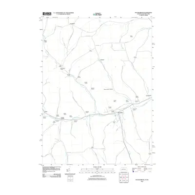
2010 Map of Potter Brook
USGS Topo · Published 2010About this map
Westfield serves as the primary population center on this landscape, situated where Mill Creek meets the Cowanesque River. The valley floor is defined by the winding river and the small settlement of Potter Brook, while the surrounding uplands are etched with numerous named hollows, reflecting the complex drainage patterns of the Allegheny Plateau. Notable topographic features include Asaph Peak and a series of deep ravines like Mink Hollow and Shingle Shanty Hollow.
Find a feature on this map
76 named features on this map. Tap any name to fly to it.
Don’t see what you’re looking for? This feature index may not catch every label — zoom into the map to look around manually.
Map Details
Editions of this 2010 Potter Brook Map
This is the sole edition of this map. No revisions or reprints were ever made.
Other maps of this area

1899 · Gaines
USGS Topo · 1:62,500

1900 · Gaines
USGS Topo · 1:62,500

1900 · Elkland
USGS Topo · 1:62,500

1924 · Woodhull
USGS Topo · 1:48,000

1926 · Woodhull
USGS Topo · 1:62,500

1926 · Greenwood
USGS Topo · 1:62,500

1944 · Woodhull
USGS Topo · 1:62,500

1950 · Elmira
USGS Topo · 1:250,000

1953 · Woodhull
USGS Topo · 1:24,000

1954 · Williamsport
USGS Topo · 1:250,000