2021 Map of Potter
USGS Topo · Published 2021About this map
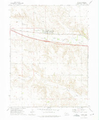
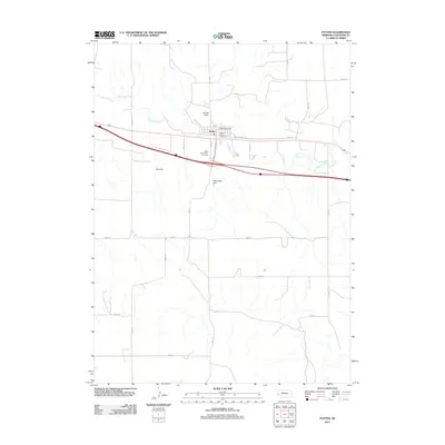
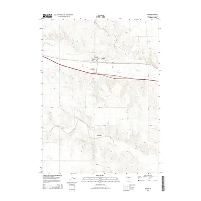
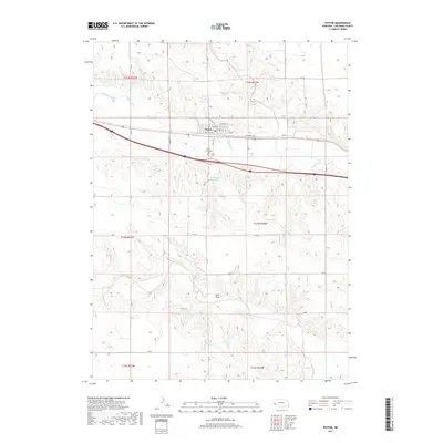
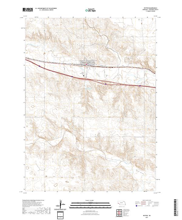
Potter serves as the central hub for this portion of Cheyenne County, situated along the valley of Lodgepole Creek. The town's grid is clearly defined by historical street names such as Chestnut St, Sherman St, and Front St, with the Po marking the local center of commerce. Outside the town limits, the landscape transitions into the drainage patterns of Sand Draw and the plains surrounding Willoughby Reservoir. Genealogists and local historians can locate the Potter Community Cem just south of the creek. The map illustrates a typical High Plains transportation corridor, where the movement of people and goods is dictated by the level ground near the water and the network of section-line roads like RD 83 and Cheyenne Co Rd that stretch across the open country.
Find a feature on this map
32 named features on this map. Tap any name to fly to it.
Don’t see what you’re looking for? This feature index may not catch every label — zoom into the map to look around manually.
Map Details
Editions of this 2021 Potter Map
This is the sole edition of this map. No revisions or reprints were ever made.
Historical Maps of Potter Through Time
5 maps found