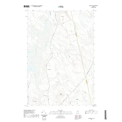
2021 Map of Potter Hill
USGS Topo · Published 2021About this map
The Mattawamkeag River snakes through a heavily wooded landscape of ridges and wetlands in this 2021 study of eastern Penobscot County. The terrain is defined by prominent elevations such as Potter Hill, Beech Ridge, and Ellen Wood Ridge, which overlook a network of tributary systems including Meadow Brook and the interestingly named Mill Priviledge Brook. Small-scale water bodies like Eagle Pond and Mud Pond punctuate the low-lying areas near the riverbanks.
Find a feature on this map
33 named features on this map. Tap any name to fly to it.
Don’t see what you’re looking for? This feature index may not catch every label — zoom into the map to look around manually.
Map Details
Editions of this 2021 Potter Hill Map
This is the sole edition of this map. No revisions or reprints were ever made.
Other maps of this area
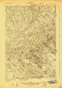
1931 · Springfield
USGS Topo · 1:48,000
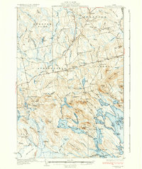
1934 · Springfield
USGS Topo · 1:62,500
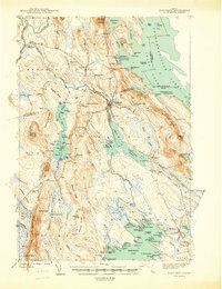
1940 · Danforth
USGS Topo · 1:62,500
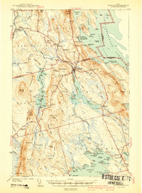
1941 · Danforth
USGS Topo · 1:62,500
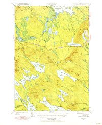
1941 · Scraggly Lake
USGS Topo · 1:62,500
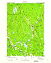
1941 · Wytopitlock
USGS Topo · 1:62,500
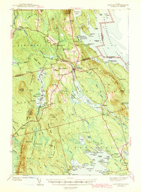
1943 · Danforth
USGS Topo · 1:62,500
1943 · Wytopitlock
USGS Topo · 1:62,500
1944 · Scraggly Lake
USGS Topo · 1:62,500

1954 · Millinocket
USGS Topo · 1:250,000