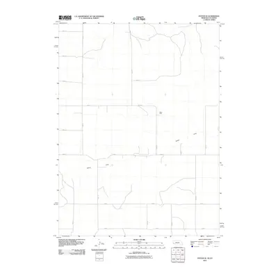
2010 Map of Potter SE
USGS Topo · Published 2010About this map
Sidney Draw winds through this rural landscape at the border of Nebraska and Colorado, where the high plains meet the intricate network of the High Plains agricultural grid. This 2010 survey illustrates the sparse but structured settlement pattern of the region, anchored by infrastructure such as Olsen Dam. The land is meticulously partitioned by a series of numbered section-line roads, including Road 18 and Road 73, which facilitate access to the vast open acreage. The geometric precision of the road system, from Road 2 in the south to the northern reaches of the quadrangle, speaks to the enduring legacy of the Public Land Survey System in organizing the American West's interior.
Find a feature on this map
17 named features on this map. Tap any name to fly to it.
Don’t see what you’re looking for? This feature index may not catch every label — zoom into the map to look around manually.
Map Details
Editions of this 2010 Potter SE Map
This is the sole edition of this map. No revisions or reprints were ever made.
Other maps of this area

1951 · Padroni NW
USGS Topo · 1:24,000

1954 · Sterling
USGS Topo · 1:250,000

1954 · Scottsbluff
USGS Topo · 1:250,000

1958 · Scottsbluff
USGS Topo · 1:250,000

1958 · Sterling
USGS Topo · 1:250,000

1972 · Easterly Airport
USGS Topo · 1:24,000

1972 · Potter SW
USGS Topo · 1:24,000

1972 · Dix
USGS Topo · 1:24,000

1972 · Point Of Rocks
USGS Topo · 1:24,000

1972 · Potter SE
USGS Topo · 1:24,000