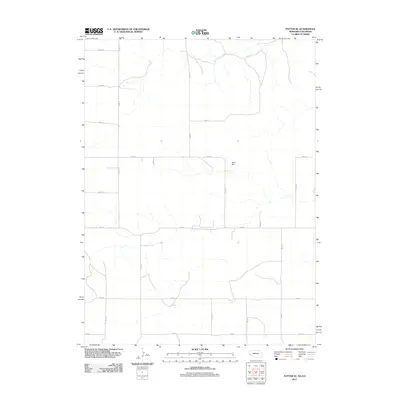
2011 Map of Potter SE
USGS Topo · Published 2011About this map
The High Plains landscape of Logan County, Colorado, is captured here in a transition zone across the state line. This 2011 survey illustrates a sparse, highly organized agricultural and grazing region defined by a rigid section-line grid. Water management is the primary landmark in this semi-arid environment, centered on the Olsen Dam along an ephemeral drainage. The transportation network is almost entirely composed of local routes such as Road 14 and Road 12, which serve isolated ranching outposts. This map provides a clear record of the modern rural infrastructure, showing how land division and water storage continue to shape the settlement patterns in the northeastern corner of the state.
Find a feature on this map
15 named features on this map. Tap any name to fly to it.
Don’t see what you’re looking for? This feature index may not catch every label — zoom into the map to look around manually.
Map Details
Editions of this 2011 Potter SE Map
This is the sole edition of this map. No revisions or reprints were ever made.
Other maps of this area

1951 · Padroni NW
USGS Topo · 1:24,000

1954 · Sterling
USGS Topo · 1:250,000

1954 · Scottsbluff
USGS Topo · 1:250,000

1958 · Scottsbluff
USGS Topo · 1:250,000

1958 · Sterling
USGS Topo · 1:250,000

1972 · Easterly Airport
USGS Topo · 1:24,000

1972 · Potter SW
USGS Topo · 1:24,000

1972 · Dix
USGS Topo · 1:24,000

1972 · Point Of Rocks
USGS Topo · 1:24,000

1972 · Potter SE
USGS Topo · 1:24,000