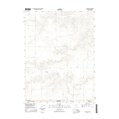
2014 Map of Potter SE
USGS Topo · Published 2014About this map
The high plains of the Nebraska-Colorado state line define this 2014 survey, where the rugged topography of the Sidney Draw cuts through the borderlands of Cheyenne and Logan counties. This arid landscape is largely organized by a strict sectional grid of rural routes, including Road 14 and Road 12, which traverse the undulating terrain of the Nebraska panhandle and northeast Colorado. The primary water feature is the Olsen Reservoir, a critical point of water storage in this high-altitude drainage basin. The map captures the intersection of multi-state jurisdictional boundaries and the agricultural infrastructure necessary to manage the seasonal flows within the draw.
Find a feature on this map
22 named features on this map. Tap any name to fly to it.
Don’t see what you’re looking for? This feature index may not catch every label — zoom into the map to look around manually.
Map Details
Editions of this 2014 Potter SE Map
This is the sole edition of this map. No revisions or reprints were ever made.
Other maps of this area

1951 · Padroni NW
USGS Topo · 1:24,000

1954 · Sterling
USGS Topo · 1:250,000

1954 · Scottsbluff
USGS Topo · 1:250,000

1958 · Scottsbluff
USGS Topo · 1:250,000

1958 · Sterling
USGS Topo · 1:250,000

1972 · Easterly Airport
USGS Topo · 1:24,000

1972 · Potter SW
USGS Topo · 1:24,000

1972 · Dix
USGS Topo · 1:24,000

1972 · Point Of Rocks
USGS Topo · 1:24,000

1972 · Potter SE
USGS Topo · 1:24,000