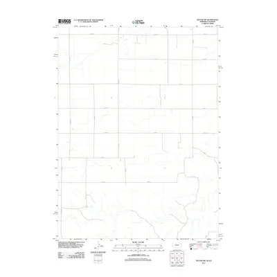
2011 Map of Potter SW
USGS Topo · Published 2011About this map
The High Plains of Logan County, Colorado, and neighboring Nebraska are defined by an expansive grid of rural corridors and drainage patterns as recorded in 2011. This landscape is dominated by a systematic section-line road network, including the east-west passage of Co Rd-18 and Co Rd-8, which intersect with north-south routes like Road 59 E and Co Rd-83. The map illustrates the specialized infrastructure of this border region, where ephemeral watercourses weave through a terrain primarily organized for large-scale agricultural production. Researchers can trace the precise boundaries of land plots and the evolution of county thoroughfares such as Co Rd-16 and Co Rd-14, which provide the essential skeleton for the sparsely populated ranching and farming operations that characterize the Colorado-Nebraska state line.
Find a feature on this map
13 named features on this map. Tap any name to fly to it.
Don’t see what you’re looking for? This feature index may not catch every label — zoom into the map to look around manually.
Map Details
Editions of this 2011 Potter SW Map
This is the sole edition of this map. No revisions or reprints were ever made.
Other maps of this area

1954 · Sterling
USGS Topo · 1:250,000

1954 · Scottsbluff
USGS Topo · 1:250,000

1958 · Scottsbluff
USGS Topo · 1:250,000

1958 · Sterling
USGS Topo · 1:250,000

1972 · Potter SW
USGS Topo · 1:24,000

1972 · Dix
USGS Topo · 1:24,000

1972 · Owasco
USGS Topo · 1:24,000

1972 · Kimball SE
USGS Topo · 1:24,000

1972 · Potter SE
USGS Topo · 1:24,000

1972 · Potter
USGS Topo · 1:24,000