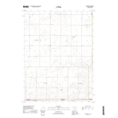
2017 Map of Potter SW
USGS Topo · Published 2017About this map
Sidney Draw cuts through the High Plains landscape of this borderlands region, where the Nebraska-Colorado state line marks the southern boundary of Kimball County. This 2017 survey by the U.S. Geological Survey illustrates the rigid geometric precision of the Public Land Survey System, with township and range lines like t13n r54w and t12n r53w defining the vast agricultural tracts. The terrain is characterized by subtle drainage patterns and a sprawling network of section-line roads, including Co Rd 18 and Co Rd 59, which facilitate movement across this sparsely populated ranching and farming territory. The transition between the Nebraska panhandle and Colorado's Logan County is delineated along the base of the sheet, where the local road network shifts slightly at Rd 2.
Find a feature on this map
21 named features on this map. Tap any name to fly to it.
Don’t see what you’re looking for? This feature index may not catch every label — zoom into the map to look around manually.
Map Details
Editions of this 2017 Potter SW Map
This is the sole edition of this map. No revisions or reprints were ever made.
Other maps of this area

1954 · Sterling
USGS Topo · 1:250,000

1954 · Scottsbluff
USGS Topo · 1:250,000

1958 · Scottsbluff
USGS Topo · 1:250,000

1958 · Sterling
USGS Topo · 1:250,000

1972 · Potter SW
USGS Topo · 1:24,000

1972 · Dix
USGS Topo · 1:24,000

1972 · Owasco
USGS Topo · 1:24,000

1972 · Kimball SE
USGS Topo · 1:24,000

1972 · Potter SE
USGS Topo · 1:24,000

1972 · Potter
USGS Topo · 1:24,000