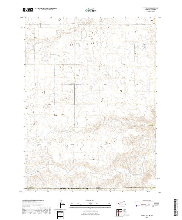
2021 Map of Potter SW
USGS Topo · Published 2021About this map
Sidney Draw meanders through the southern portion of this landscape, carving a subtle path through the high plains at the intersection of Nebraska and Colorado. This 2021 survey documents the rural character of the borderlands where Kimball Co and Cheyenne Co, Nebraska, meet Logan Co, Colorado. The terrain is structured by a rigid grid of county roads, including Co Rd 18 and Co Rd 6, reflecting a systematic approach to land division and agricultural access. The scarcity of named settlements or structures emphasizes the open, pastoral nature of the region, where the primary geographic features are the section lines and the ephemeral drainage of the draw.
Find a feature on this map
18 named features on this map. Tap any name to fly to it.
Don’t see what you’re looking for? This feature index may not catch every label — zoom into the map to look around manually.
Map Details
Editions of this 2021 Potter SW Map
This is the sole edition of this map. No revisions or reprints were ever made.
Other maps of this area

1954 · Sterling
USGS Topo · 1:250,000

1954 · Scottsbluff
USGS Topo · 1:250,000

1958 · Scottsbluff
USGS Topo · 1:250,000

1958 · Sterling
USGS Topo · 1:250,000

1972 · Potter SW
USGS Topo · 1:24,000

1972 · Dix
USGS Topo · 1:24,000

1972 · Owasco
USGS Topo · 1:24,000

1972 · Kimball SE
USGS Topo · 1:24,000

1972 · Potter SE
USGS Topo · 1:24,000

1972 · Potter
USGS Topo · 1:24,000