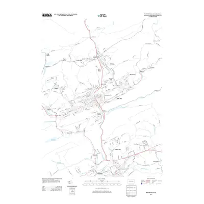
2013 Map of Pottsville
USGS Topo · Published 2013About this map
Schuylkill Haven and Cressona anchor the southern reach of this Schuylkill County landscape, where the Schuylkill River and its numerous tributaries like Mill Cr and Tumbling Run carve through the anthracite coal region. The settlement pattern reveals the industrial history of the area, with densely packed boroughs and specialized additions like Arnotts Addition and East Mines situated near Saint Clair. The geography is defined by prominent ridges including Dieners Hill, Peach Mountain, and Sharp Mountain, which have historically dictated the placement of rail lines and early road networks.
Find a feature on this map
253 named features on this map. Tap any name to fly to it.
Don’t see what you’re looking for? This feature index may not catch every label — zoom into the map to look around manually.
Map Details
Editions of this 2013 Pottsville Map
This is the sole edition of this map. No revisions or reprints were ever made.
Other maps of this area

1889 · Catawissa
USGS Topo · 1:62,500

1889 · Pottsville
USGS Topo · 1:62,500

1891 · Pottsville
USGS Topo · 1:62,500

1892 · Catawissa
USGS Topo · 1:62,500

1892 · Mahanoy
USGS Topo · 1:62,500

1892 · Pine Grove
USGS Topo · 1:62,500

1893 · Mahanoy
USGS Topo · 1:62,500

1894 · Catawissa
USGS Topo · 1:62,500

1944 · Pottsville
USGS Topo · 1:24,000

1944 · Orwigsburg
USGS Topo · 1:24,000