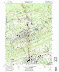
2023 Map of Pottsville
USGS Topo · Published 2023About this map
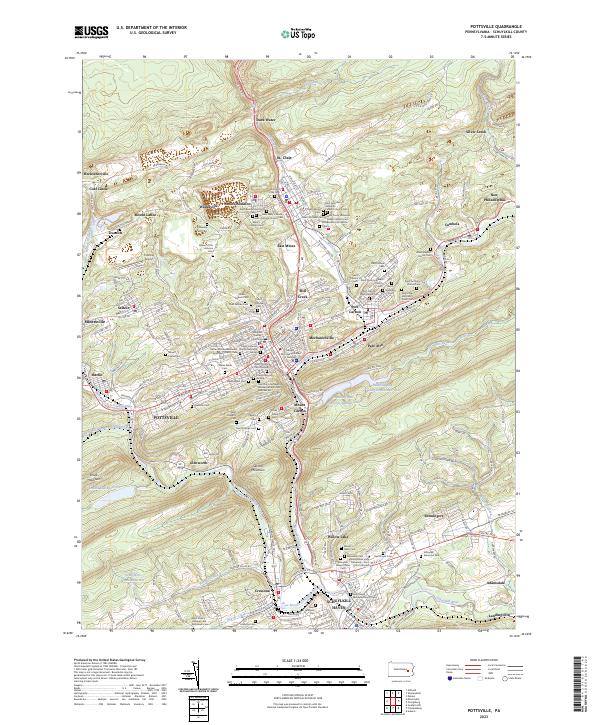
Pottsville and the surrounding coal region of Schuylkill County are shown here with a density of cultural and religious sites that reflects its deep industrial history. The landscape is marked by steep ridges like Sharp Mountain and Second Mountain, while the valleys are crowded with early settlements and additions including Arnots Addition, East Mines, and Dark Water. This 2023 edition documents an intricate network of neighborhood cemeteries and ethnic parishes, such as Saint Nicholas Ukrainian Catholic Church and Saint Mary's Greek Catholic Church, illustrating the diverse immigrant heritage of the anthracite fields.
Find a feature on this map
231 named features on this map. Tap any name to fly to it.
Don’t see what you’re looking for? This feature index may not catch every label — zoom into the map to look around manually.
Map Details
Editions of this 2023 Pottsville Map
This is the sole edition of this map. No revisions or reprints were ever made.
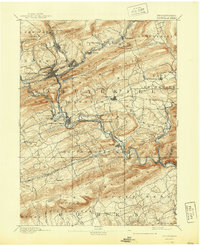
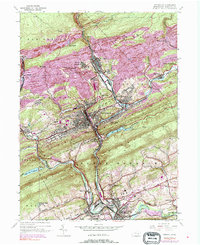
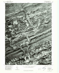
Historical Maps of East Norwegian Township Through Time
6 maps found