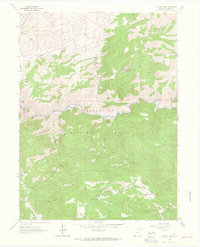
1962 Map of Poudre Park
USGS Topo · Published 1964About this map
The Cache La Poudre River corridor defines the geography of this mid-century survey, with the small settlement of Poudre Park and the riverside Mishawaka area serving as focal points. Much of the terrain is managed within the Roosevelt National Forest, where steep drainages like Young Gulch and Hewlett Gulch feed into the main river valley.
Find a feature on this map
32 named features on this map. Tap any name to fly to it.
Don’t see what you’re looking for? This feature index may not catch every label — zoom into the map to look around manually.
Map Details
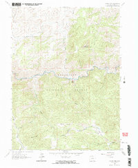
Editions of this 1962 Poudre Park Map
2 editions found
Other maps of this area

1906 · Fort Collins
USGS Topo · 1:62,500

1907 · Livermore
USGS Topo · 1:125,000

1908 · Fort Collins
USGS Topo · 1:62,500

1909 · Livermore
USGS Topo · 1:125,000

1954 · Greeley
USGS Topo · 1:250,000

1957 · Greeley
USGS Topo · 1:250,000

1958 · Greeley
USGS Topo · 1:250,000

1960 · Livermore
USGS Topo · 1:24,000

1960 · Haystack Gulch
USGS Topo · 1:24,000

1960 · Livermore Mountain
USGS Topo · 1:24,000