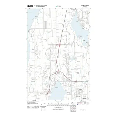
2011 Map of Poulsbo
USGS Topo · Published 2011About this map
Poulsbo and Silverdale anchor this detailed study of the Kitsap Peninsula's eastern shoreline and the maritime corridors of Liberty Bay and Dyes Inlet. The landscape is a complex mix of naval presence at Bangor, suburban expansion, and remnants of its early settlement history, preserved in sites like the Silverdale Pioneer Cemetery and Pearson Cemetery. Transportation networks define the area, from the Clear Creek Interchange to the aviation facilities at Apex Airpark and the specialized Port of Poulsbo Marina Moorage Seaplane Base.
Find a feature on this map
69 named features on this map. Tap any name to fly to it.
Don’t see what you’re looking for? This feature index may not catch every label — zoom into the map to look around manually.
Map Details
Editions of this 2011 Poulsbo Map
This is the sole edition of this map. No revisions or reprints were ever made.
Other maps of this area

1936 · Point Misery
USGS Topo · 1:62,500

1937 · Port Orchard
USGS Topo · 1:62,500

1937 · Port Gamble
USGS Topo · 1:62,500

1940 · Port Gamble
USGS Topo · 1:62,500

1940 · Point Misery
USGS Topo · 1:62,500

1940 · Quilcene
USGS Topo · 1:62,500

1953 · Seabeck
USGS Topo · 1:24,000

1953 · Poulsbo
USGS Topo · 1:24,000

1953 · Quilcene
USGS Topo · 1:24,000

1953 · Bremerton West
USGS Topo · 1:24,000