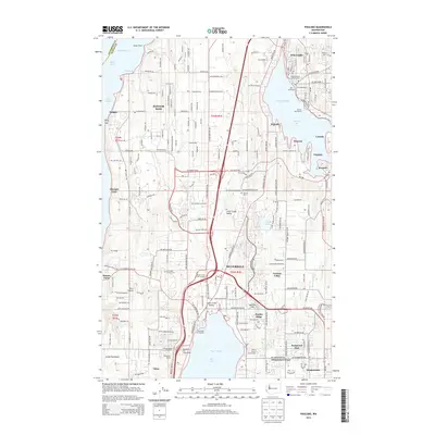
2014 Map of Poulsbo
USGS Topo · Published 2014About this map
The deep-water frontage of Puget Sound and the Hood Canal defines this maritime and military landscape on the Great Peninsula. Large-scale federal installations, most notably Bangor Base and the Bangor Naval Sub Base, dominate the western shoreline near Bangor Wharf and Devils Hole. This strategic coastal presence is balanced by the dense residential and commercial growth of Silverdale and Poulsbo, which are linked by major infrastructure like the Clear Creek Interchange.
Find a feature on this map
113 named features on this map. Tap any name to fly to it.
Don’t see what you’re looking for? This feature index may not catch every label — zoom into the map to look around manually.
Map Details
Editions of this 2014 Poulsbo Map
This is the sole edition of this map. No revisions or reprints were ever made.
Other maps of this area

1936 · Point Misery
USGS Topo · 1:62,500

1937 · Port Orchard
USGS Topo · 1:62,500

1937 · Port Gamble
USGS Topo · 1:62,500

1940 · Port Gamble
USGS Topo · 1:62,500

1940 · Point Misery
USGS Topo · 1:62,500

1940 · Quilcene
USGS Topo · 1:62,500

1953 · Seabeck
USGS Topo · 1:24,000

1953 · Poulsbo
USGS Topo · 1:24,000

1953 · Quilcene
USGS Topo · 1:24,000

1953 · Bremerton West
USGS Topo · 1:24,000