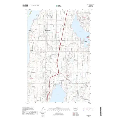
2020 Map of Poulsbo
USGS Topo · Published 2020About this map
Bangor Base and the surrounding residential corridors of the Kitsap Peninsula define this modern topographic landscape. The map details the developed waterfronts of Liberty Bay and Dyes Inlet, connecting the established settlements of Poulsbo and Silverdale. For genealogists, the survey identifies several key burial sites including the Silverdale Pioneer Cem, Pearson Cem, and First Lutheran Church Cem. The infrastructure is marked by aviation and military interests, from the Apex Airpark to the specialized facilities at Delta Pier and the Temporary Sewage Lagoon within the base. Inland, the map follows the drainage of Clear Creek and Barker Creek, revealing the dense network of local roads and suburban expansion that has integrated older hamlets like Scandia, Pearson, and Virginia.
Find a feature on this map
78 named features on this map. Tap any name to fly to it.
Don’t see what you’re looking for? This feature index may not catch every label — zoom into the map to look around manually.
Map Details
Editions of this 2020 Poulsbo Map
This is the sole edition of this map. No revisions or reprints were ever made.
Other maps of this area

1936 · Point Misery
USGS Topo · 1:62,500

1937 · Port Orchard
USGS Topo · 1:62,500

1937 · Port Gamble
USGS Topo · 1:62,500

1940 · Port Gamble
USGS Topo · 1:62,500

1940 · Point Misery
USGS Topo · 1:62,500

1940 · Quilcene
USGS Topo · 1:62,500

1953 · Seabeck
USGS Topo · 1:24,000

1953 · Poulsbo
USGS Topo · 1:24,000

1953 · Quilcene
USGS Topo · 1:24,000

1953 · Bremerton West
USGS Topo · 1:24,000