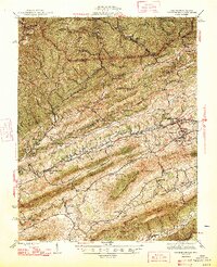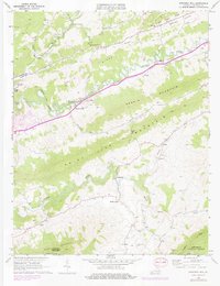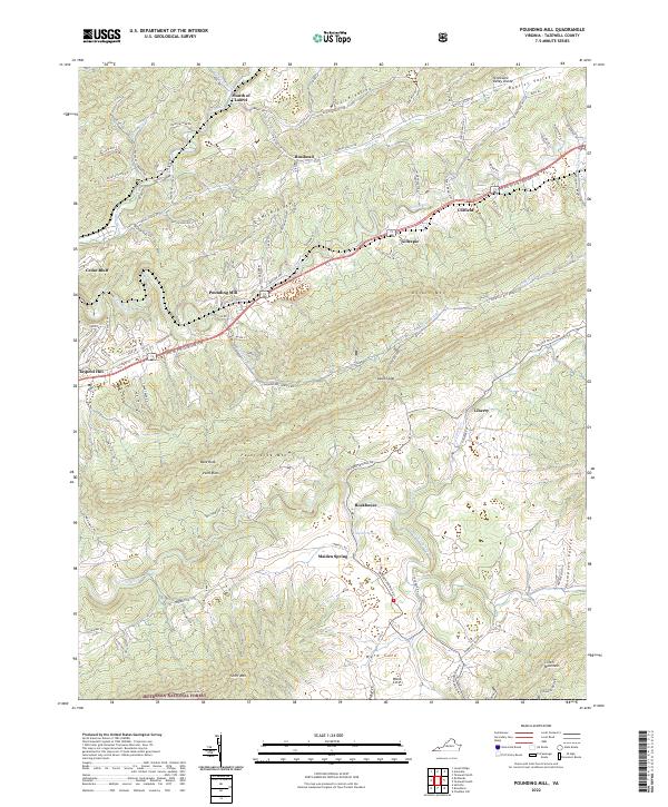
2022 Map of Pounding Mill
USGS Topo · Published 2022About this map
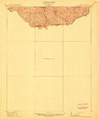
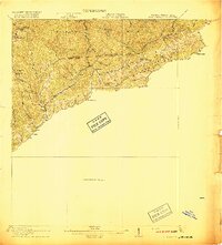
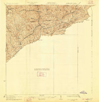
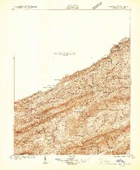
The Clinch River carves through the heart of this Tazewell County landscape, anchoring a network of historic settlements and high-relief terrain. Central to the area is the community of Pounding Mill, situated where the river meets Pounding Mill Br and the historic Trl of the Lonesome Pine transit corridor. To the west, the concentrated development of Cedar Bluff and Claypool Hill marks a transition from the narrow river valley to the broader residential and commercial districts of the early 21st century.
Find a feature on this map
109 named features on this map. Tap any name to fly to it.
Don’t see what you’re looking for? This feature index may not catch every label — zoom into the map to look around manually.
Map Details
Editions of this 2022 Pounding Mill Map
This is the sole edition of this map. No revisions or reprints were ever made.
Historical Maps of Cedar Bluff Through Time
7 maps found