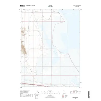
2020 Map of Poverty Point
USGS Topo · Published 2020About this map
Lakeside Mountains dominate the western edge of this Tooele County survey, marking the transition between the arid terrain and the salt-crusted flats leading to Stansbury Bay. The area is defined by its stark geological landmarks and the infrastructure required to navigate the Great Salt Lake shoreline. Local access is facilitated by a network of specialized routes, including the W West Stansbury Causeway Rd and smaller tracks like Dead Cow Point Rd and Greasewood Pond Rd. Notable topographic features such as Black Knoll, Dead Cow Point, and the namesake Poverty Point provide essential orientation points in a landscape where water and land frequently shift. The presence of Greasewood Pond further illustrates the isolated hydrological pockets that characterize this desert basin environment.
Find a feature on this map
16 named features on this map. Tap any name to fly to it.
Don’t see what you’re looking for? This feature index may not catch every label — zoom into the map to look around manually.
Map Details
Editions of this 2020 Poverty Point Map
This is the sole edition of this map. No revisions or reprints were ever made.
Other maps of this area

1885 · Tooele Valley
USGS Topo · 1:250,000

1953 · Tooele
USGS Topo · 1:250,000

1955 · Timpie
USGS Topo · 1:62,500

1955 · Tooele
USGS Topo · 1:250,000

1968 · Poverty Point
USGS Topo · 1:24,000

1968 · Badger Island NW
USGS Topo · 1:24,000

1968 · Badger Island
USGS Topo · 1:24,000

1968 · Corral Canyon
USGS Topo · 1:24,000

1968 · Craner Peak
USGS Topo · 1:24,000

1973 · Delle
USGS Topo · 1:24,000