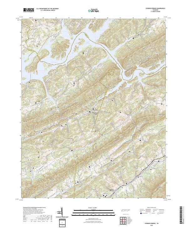
2022 Map of Powder Springs
USGS Topo · Published 2022About this map
Clinch Mountain and the parallel ridges of East Tennessee define the landscape of this region where Union, Claiborne, and Grainger counties meet. The northern reach of the map is dominated by the sprawling waters of Norris Lake, while the southern half is characterized by a series of narrow, linear valleys including Raccoon Valley, Hogskin Valley, and Clinch Valley.
Find a feature on this map
163 named features on this map. Tap any name to fly to it.
Don’t see what you’re looking for? This feature index may not catch every label — zoom into the map to look around manually.
Map Details
Editions of this 2022 Powder Springs Map
This is the sole edition of this map. No revisions or reprints were ever made.
Other maps of this area

1897 · Maynardville
USGS Topo · 1:125,000

1900 · Maynardville
USGS Topo · 1:125,000

1935 · Luttrell
USGS Topo · 1:24,000

1935 · Straw Plains
USGS Topo · 1:48,000

1935 · Graveston
USGS Topo · 1:24,000

1935 · Joppa
USGS Topo · 1:24,000

1936 · Gorryton
USGS Topo · 1:48,000

1936 · Powder Springs
USGS Topo · 1:24,000

1936 · Ausmus
USGS Topo · 1:24,000
1936 · Clouds
USGS Topo · 1:24,000