
1936 Map of Powder Springs
USGS Topo · Published 1936About this map
Clinch Mountain and the surrounding ridgelines anchor this 1936 survey, which documents the transformation of East Tennessee as the Tennessee Valley Authority established the Norris Reservation. The landscape is a complex system of parallel valleys, including Hogskin Valley, Little Valley, and Potato Valley, each supporting tight-knit rural communities. These settlements are often centered around local institutions such as Dodson Creek Ch, Nave Hill Ch, and the Wood Dale Sch.
Find a feature on this map
53 named features on this map. Tap any name to fly to it.
Don’t see what you’re looking for? This feature index may not catch every label — zoom into the map to look around manually.
Map Details
Editions of this 1936 Powder Springs Map
This is the sole edition of this map. No revisions or reprints were ever made.
Other maps of this area

1897 · Maynardville
USGS Topo · 1:125,000

1900 · Maynardville
USGS Topo · 1:125,000

1935 · Luttrell
USGS Topo · 1:24,000

1935 · Straw Plains
USGS Topo · 1:48,000

1935 · Graveston
USGS Topo · 1:24,000

1935 · Joppa
USGS Topo · 1:24,000

1936 · Gorryton
USGS Topo · 1:48,000

1936 · Ausmus
USGS Topo · 1:24,000
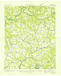
1936 · Clouds
USGS Topo · 1:24,000
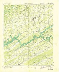
1936 · Rutledge
USGS Topo · 1:48,000