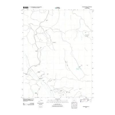
2010 Map of Powderhorn
USGS Topo · Published 2010About this map
Powderhorn and the small settlement of Spencer anchor this high-elevation mining landscape in Colorado. The map reveals an area defined by mineral exploration and thermal features, notably the Cebolla Hot Springs and the Cebolla Creek Titaneferous Iron Deposit. Resource extraction is a dominant theme, with numerous named operations ranging from the Old Lot Mine and Seventy-six Shaft Mine to more modern industrial sites like the Rare Earth Mining Company Mine and the Iron Hill Columbium Deposit.
Find a feature on this map
57 named features on this map. Tap any name to fly to it.
Don’t see what you’re looking for? This feature index may not catch every label — zoom into the map to look around manually.
Map Details
Editions of this 2010 Powderhorn Map
This is the sole edition of this map. No revisions or reprints were ever made.
Other maps of this area

1908 · Uncompahgre
USGS Topo · 1:125,000

1911 · Uncompahgre
USGS Topo · 1:125,000

1954 · Iris NW
USGS Topo · 1:24,000

1954 · Iola
USGS Topo · 1:24,000

1954 · Cebolla
USGS Topo · 1:24,000

1954 · Gateview
USGS Topo · 1:24,000

1956 · Montrose
USGS Topo · 1:250,000

1959 · Montrose
USGS Topo · 1:250,000

1960 · Montrose
USGS Topo · 1:250,000

1962 · Rudolph Hill
USGS Topo · 1:24,000