
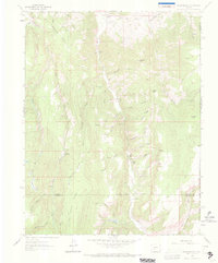
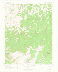
1962 Map of Rudolph Hill
USGS Topo · Published 1964About this map
Cebolla Creek winds through this high-altitude landscape, defining a network of drainages and ranching outposts in the early 1960s. The settlement at Powderhorn and nearby properties like Sammons Ranch, Inside Ranch, and the Smith Place indicate the area's agricultural and homesteading roots. This survey reflects a mid-century period when remote mountain drainages were accessed primarily via rugged routes like Beaver Road or unnamed trails and jeep paths.
Find a feature on this map
48 named features on this map. Tap any name to fly to it.
Don’t see what you’re looking for? This feature index may not catch every label — zoom into the map to look around manually.
Map Details
Editions of this 1962 Rudolph Hill Map
3 editions found
Other maps of this area

1908 · Uncompahgre
USGS Topo · 1:125,000

1911 · Uncompahgre
USGS Topo · 1:125,000

1954 · Gateview
USGS Topo · 1:24,000

1956 · Montrose
USGS Topo · 1:250,000

1959 · Montrose
USGS Topo · 1:250,000

1960 · Montrose
USGS Topo · 1:250,000

1962 · Powderhorn
USGS Topo · 1:24,000
1962 · Spring Hill Creek
USGS Topo · 1:24,000
1963 · Cannibal Plateau
USGS Topo · 1:24,000
1963 · Powderhorn Lakes
USGS Topo · 1:24,000