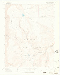
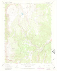
1963 Map of Cannibal Plateau
USGS Topo · Published 1966About this map
Cannibal Plateau and Mesa Seco dominate this high-altitude landscape in the Gunnison National Forest. Recorded during the early 1960s, the terrain is defined by deep drainage systems like Devils Canyon and Cañon Infierno, which feed into the Cebolla Creek watershed. The presence of the Slumgullion Slide in the southwest corner provides evidence of the area's massive earthflow history, while unnamed Prospects near Gardner Ridge hint at the mineral exploration common to this part of Hinsdale County.
Find a feature on this map
34 named features on this map. Tap any name to fly to it.
Don’t see what you’re looking for? This feature index may not catch every label — zoom into the map to look around manually.
Map Details
Editions of this 1963 Cannibal Plateau Map
5 editions found
Other maps of this area

1903 · Lake City
USGS Topo · 1:62,500

1905 · Lake City
USGS Topo · 1:62,500

1905 · San Cristobal
USGS Topo · 1:125,000

1907 · San Cristobal
USGS Topo · 1:125,000

1908 · Uncompahgre
USGS Topo · 1:125,000

1911 · Uncompahgre
USGS Topo · 1:125,000

1945 · Durango
USGS Topo · 1:250,000

1953 · Durango
USGS Topo · 1:250,000

1954 · Durango
USGS Topo · 1:250,000

1956 · Montrose
USGS Topo · 1:250,000