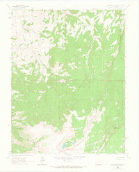
1963 Map of Powderhorn Lakes
USGS Topo · Published 1966About this map
Powderhorn Lakes and the high alpine drainage systems of the Calf Creek Plateau dominate this 1963 field-checked survey. Located along the Gunnison Co Hinsdale Co border, the landscape is defined by the headwaters of several major tributaries, including Trout Creek and Indian Creek. Human activity in this high-altitude environment is evidenced by a network of pack trails and a jeep trail that navigate the steep descents toward Grey Ranch in the north.
Find a feature on this map
22 named features on this map. Tap any name to fly to it.
Don’t see what you’re looking for? This feature index may not catch every label — zoom into the map to look around manually.
Map Details
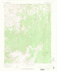
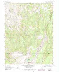
Editions of this 1963 Powderhorn Lakes Map
3 editions found
Other maps of this area

1903 · Lake City
USGS Topo · 1:62,500

1905 · Lake City
USGS Topo · 1:62,500

1908 · Uncompahgre
USGS Topo · 1:125,000

1911 · Uncompahgre
USGS Topo · 1:125,000

1954 · Gateview
USGS Topo · 1:24,000

1956 · Montrose
USGS Topo · 1:250,000

1959 · Montrose
USGS Topo · 1:250,000

1960 · Montrose
USGS Topo · 1:250,000

1962 · Rudolph Hill
USGS Topo · 1:24,000

1962 · Powderhorn
USGS Topo · 1:24,000