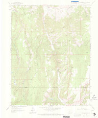
1962 Map of Rudolph Hill
USGS Topo · Published 1972About this map
Cebolla Creek cuts a deep north-south path through this high-altitude landscape where Gunnison, Hinsdale, and Saguache counties meet. The settlement of Powderhorn and the nearby Powderhorn Cem serve as the primary landmarks in an area dominated by cattle ranching and livestock grazing. Named family outposts including Sammons Ranch, Jardine Ranch, and the Smith Place are scattered across the terrain, connected by a network of primitive routes like Beaver Road and various unnamed pack trails.
Find a feature on this map
47 named features on this map. Tap any name to fly to it.
Don’t see what you’re looking for? This feature index may not catch every label — zoom into the map to look around manually.
Map Details
Editions of this 1962 Rudolph Hill Map
3 editions found
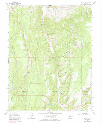
Other maps of this area

1908 · Uncompahgre
USGS Topo · 1:125,000

1911 · Uncompahgre
USGS Topo · 1:125,000

1954 · Gateview
USGS Topo · 1:24,000

1956 · Montrose
USGS Topo · 1:250,000

1959 · Montrose
USGS Topo · 1:250,000

1960 · Montrose
USGS Topo · 1:250,000

1962 · Rudolph Hill
USGS Topo · 1:24,000

1962 · Powderhorn
USGS Topo · 1:24,000
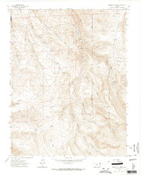
1962 · Spring Hill Creek
USGS Topo · 1:24,000
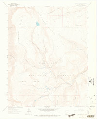
1963 · Cannibal Plateau
USGS Topo · 1:24,000