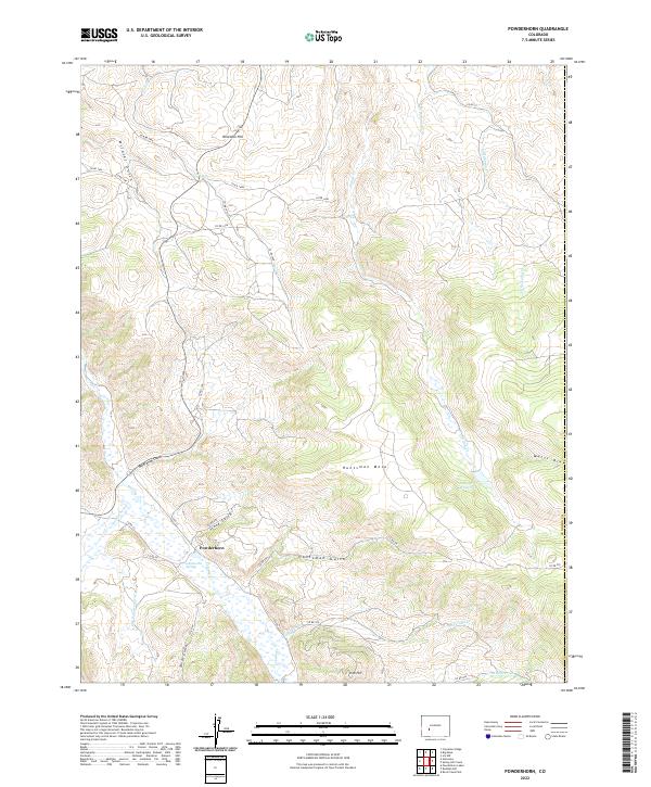
2022 Map of Powderhorn
USGS Topo · Published 2022About this map
The settlement of Powderhorn anchors this high-elevation landscape, situated at the confluence of several vital watercourses. The local geography is defined by the winding path of Cebolla Cr, which is joined by Powderhorn Cr and the geothermal interest of Cebolla-Hot Springs. This area in Gunnison County showcases a complex network of canyons and plateaus, where deep drainages like Smith Gulch and Huntsman Gulch cut through the prominent Huntsman Mesa.
Find a feature on this map
47 named features on this map. Tap any name to fly to it.
Don’t see what you’re looking for? This feature index may not catch every label — zoom into the map to look around manually.
Map Details
Editions of this 2022 Powderhorn Map
This is the sole edition of this map. No revisions or reprints were ever made.
Other maps of this area

1908 · Uncompahgre
USGS Topo · 1:125,000

1911 · Uncompahgre
USGS Topo · 1:125,000

1954 · Iris NW
USGS Topo · 1:24,000

1954 · Iola
USGS Topo · 1:24,000

1954 · Cebolla
USGS Topo · 1:24,000

1954 · Gateview
USGS Topo · 1:24,000

1956 · Montrose
USGS Topo · 1:250,000

1959 · Montrose
USGS Topo · 1:250,000

1960 · Montrose
USGS Topo · 1:250,000

1962 · Rudolph Hill
USGS Topo · 1:24,000