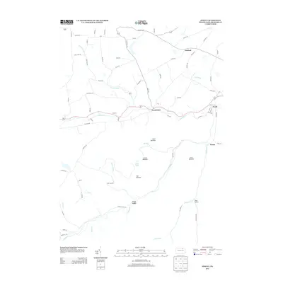
2013 Map of Powell
USGS Topo · Published 2013About this map
Towanda Cr carves a central path through this portion of Bradford County, anchoring the small communities of Franklindale and Powell. The landscape is defined by the sharp transition from the valley floor to the high ridges of Naglee Mountain and Lamoka Mountain to the south. Historically significant routes like the Berwick Tpke traverse the northern highlands near Highland, following a network of secondary roads that link isolated homesteads and farms.
Find a feature on this map
79 named features on this map. Tap any name to fly to it.
Don’t see what you’re looking for? This feature index may not catch every label — zoom into the map to look around manually.
Map Details
Editions of this 2013 Powell Map
This is the sole edition of this map. No revisions or reprints were ever made.
Other maps of this area

1923 · Towanda
USGS Topo · 1:62,500

1926 · Towanda
USGS Topo · 1:62,500

1939 · Sayre
USGS Topo · 1:62,500

1942 · Sayre
USGS Topo · 1:62,500

1943 · Towanda
USGS Topo · 1:62,500

1943 · Monroeton
USGS Topo · 1:62,500

1943 · Powell
USGS Topo · 1:62,500

1945 · Powell
USGS Topo · 1:62,500

1948 · Sayre
USGS Topo · 1:62,500

1954 · Williamsport
USGS Topo · 1:250,000
Featured Places
- West Burlington Township, PA
- Overton Township, PA
- Highland, Burlington Township
- Towanda Township, PA
- Franklindale, Franklin Township