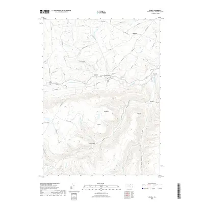
2019 Map of Powell
USGS Topo · Published 2019About this map
Towanda Creek meanders through the central valley of this Bradford County landscape, anchoring a cluster of historic hamlets and family burial grounds. The settlement of Franklindale serves as a local focal point, surrounded by several notable cemeteries including the Franklin Center Christian Cem, Willey Family Cem, and Franklindale Cem. These sites, along with the West Franklin Cem further west, offer significant touchpoints for genealogical research in West Burlington Township.
Find a feature on this map
72 named features on this map. Tap any name to fly to it.
Don’t see what you’re looking for? This feature index may not catch every label — zoom into the map to look around manually.
Map Details
Editions of this 2019 Powell Map
This is the sole edition of this map. No revisions or reprints were ever made.
Other maps of this area

1923 · Towanda
USGS Topo · 1:62,500

1926 · Towanda
USGS Topo · 1:62,500

1939 · Sayre
USGS Topo · 1:62,500

1942 · Sayre
USGS Topo · 1:62,500

1943 · Towanda
USGS Topo · 1:62,500

1943 · Monroeton
USGS Topo · 1:62,500

1943 · Powell
USGS Topo · 1:62,500

1945 · Powell
USGS Topo · 1:62,500

1948 · Sayre
USGS Topo · 1:62,500

1954 · Williamsport
USGS Topo · 1:250,000
Featured Places
- West Burlington Township, PA
- Overton Township, PA
- Highland, Burlington Township
- Towanda Township, PA
- Franklindale, Franklin Township