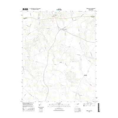
2016 Map of Powellsville
USGS Topo · Published 2016About this map
Powellsville serves as a central hub in this coastal plain landscape, where the border between Hertford and Bertie counties meets amidst a network of extensive wetlands. The town sits at the intersection of local routes like S Commerce St and Bethlehem Church Rd, surrounded by the distinct hydrologic patterns of Quioccosin Swamp and Losing Swamp. To the south, the settlement of Cremo and the rural junction at Buzzards Crossroads illustrate the dispersed nature of agricultural life in this part of North Carolina.
Find a feature on this map
52 named features on this map. Tap any name to fly to it.
Don’t see what you’re looking for? This feature index may not catch every label — zoom into the map to look around manually.
Map Details
Editions of this 2016 Powellsville Map
This is the sole edition of this map. No revisions or reprints were ever made.
Other maps of this area

1908 · Winton
USGS Topo · 1:62,500

1953 · Norfolk
USGS Topo · 1:250,000

1972 · Republican
USGS Topo · 1:24,000

1972 · Aulander
USGS Topo · 1:24,000

1977 · Union
USGS Topo · 1:24,000
1981 · Windsor North
USGS Topo · 1:24,000

1982 · Powellsville
USGS Topo · 1:24,000
1982 · Colerain
USGS Topo · 1:24,000
1982 · Merry Hill
USGS Topo · 1:24,000
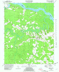
1982 · Harrellsville
USGS Topo · 1:24,000