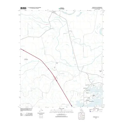
2012 Map of Powhatan
USGS Topo · Published 2012About this map
Powhatan and its surrounding alluvial landscape are defined by an intricate network of waterways including Bayou Pierre and the Old Spanish Lake Lowlands. This 2012 survey captures the transition from the agricultural wetlands near Red Bayou to the suburban residential growth northwest of Natchitoches. In the southern portion of the quadrangle, several named neighborhoods like Westlake, Greenwood Park, and Oakleaf Estates cluster near the shores of Sibley Lake, indicating significant twentieth-century development.
Find a feature on this map
72 named features on this map. Tap any name to fly to it.
Don’t see what you’re looking for? This feature index may not catch every label — zoom into the map to look around manually.
Map Details
Editions of this 2012 Powhatan Map
This is the sole edition of this map. No revisions or reprints were ever made.
Other maps of this area

1935 · Hagewood
USGS Topo · 1:31,680

1937 · Campti NE
USGS Topo · 1:31,680

1937 · Bermuda
USGS Topo · 1:31,680

1937 · Campti SE
USGS Topo · 1:31,680

1937 · Campti NW
USGS Topo · 1:31,680

1937 · Campti SW
USGS Topo · 1:31,680

1938 · Allen
USGS Topo · 1:31,680

1938 · Lake End
USGS Topo · 1:31,680

1942 · Many
USGS Topo · 1:62,500

1943 · Many
USGS Topo · 1:62,500