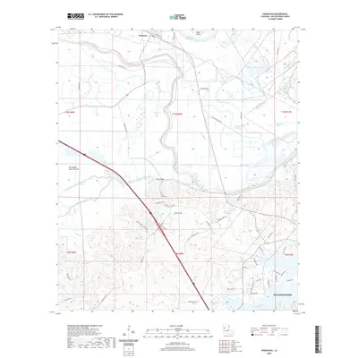
2020 Map of Powhatan
USGS Topo · Published 2020About this map
Powhatan and the northern reaches of Natchitoches anchor this landscape, defined by an intricate network of waterways and low-lying basins. The terrain is dominated by the Old Spanish Lake Lowlands, where a complex system of sloughs and channels such as Bayou Pierre, Red Bayou, and Three League Bayou weave through the alluvial plain. The confluence of these water bodies suggests a long history of seasonal drainage and navigation, as evidenced by the numerous crossings like Chute Bridge and the presence of Smith Island along the Old River Red River.
Find a feature on this map
62 named features on this map. Tap any name to fly to it.
Don’t see what you’re looking for? This feature index may not catch every label — zoom into the map to look around manually.
Map Details
Editions of this 2020 Powhatan Map
This is the sole edition of this map. No revisions or reprints were ever made.
Other maps of this area
1935 · Hagewood
USGS Topo · 1:31,680
1937 · Campti NE
USGS Topo · 1:31,680
1937 · Bermuda
USGS Topo · 1:31,680
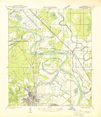
1937 · Campti SE
USGS Topo · 1:31,680
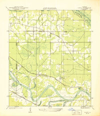
1937 · Campti NW
USGS Topo · 1:31,680
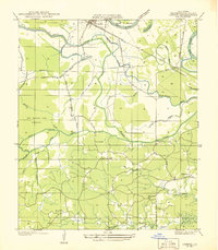
1937 · Campti SW
USGS Topo · 1:31,680
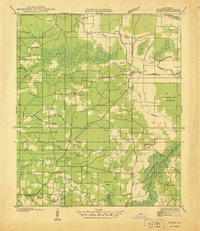
1938 · Allen
USGS Topo · 1:31,680
1938 · Lake End
USGS Topo · 1:31,680
1942 · Many
USGS Topo · 1:62,500
1943 · Many
USGS Topo · 1:62,500