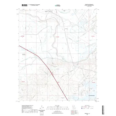
2024 Map of Powhatan
USGS Topo · Published 2024About this map
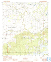
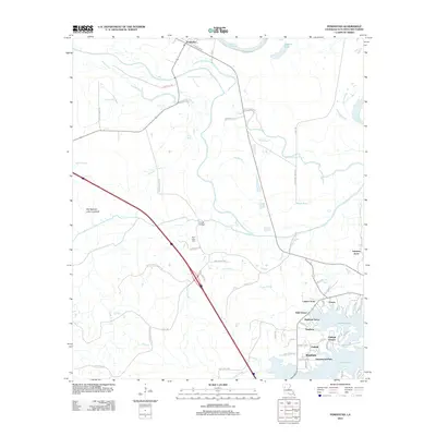
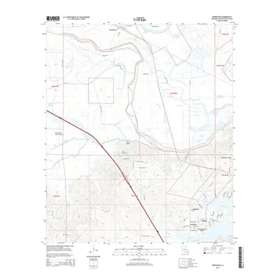
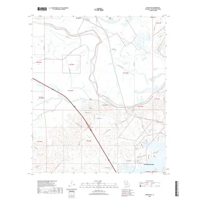
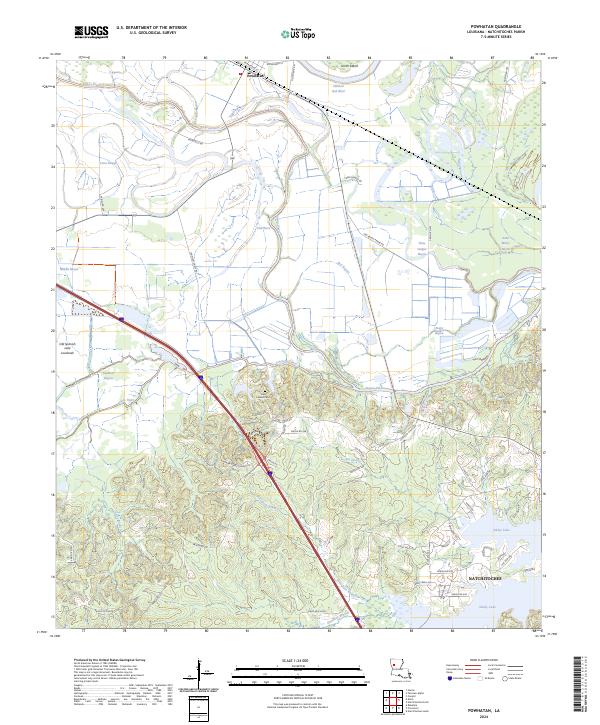
Powhatan and the northern outskirts of Natchitoches anchor this detailed study of the floodplain and bayou systems along the Red River. The landscape is dominated by the Red River National Wildlife Refuge, which spans a complex network of waterways including Bayou Pierre, Coon Slough, and the Old Spanish Lake Lowlands. This environment illustrates the shifting nature of Louisiana’s river systems, where features like Oldriver and Johnson Chute indicate former courses and seasonal overflows.
Find a feature on this map
63 named features on this map. Tap any name to fly to it.
Don’t see what you’re looking for? This feature index may not catch every label — zoom into the map to look around manually.
Map Details
Editions of this 2024 Powhatan Map
This is the sole edition of this map. No revisions or reprints were ever made.
Historical Maps of Natchitoches Through Time
6 maps found