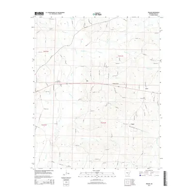
2014 Map of Prague
USGS Topo · Published 2014About this map
Hurricane Creek and its many tributaries, including Mill Creek and Brushy Creek, dominate this portion of Grant County, carving a dense drainage network through the Arkansas landscape. Small community hubs like Center Grove and Prague sit at key road junctions, providing a look at the rural settlement patterns that have persisted into the modern era. The presence of Oak Grove Cemetery, Hardin Cemetery, and Camp Creek Cemetery offers significant value for genealogists tracing family roots in these unincorporated areas. The northern reach of the Sheridan Municipal Airport near Us-270 highlights the infrastructure supporting this region between the smaller locales of Ebb and Junet. This survey provides a precise accounting of county roads and land sections, such as t4s r12w, essential for local history research.
Find a feature on this map
100 named features on this map. Tap any name to fly to it.
Don’t see what you’re looking for? This feature index may not catch every label — zoom into the map to look around manually.
Map Details
Editions of this 2014 Prague Map
This is the sole edition of this map. No revisions or reprints were ever made.
Other maps of this area

1932 · Pastoria
USGS Topo · 1:62,500

1935 · Pastoria
USGS Topo · 1:62,500

1955 · Little Rock
USGS Topo · 1:250,000

1956 · Little Rock
USGS Topo · 1:250,000

1960 · Little Rock
USGS Topo · 1:250,000

1962 · Pine Bluff NW
USGS Topo · 1:24,000

1964 · Little Rock
USGS Topo · 1:250,000

1964 · Sheridan
USGS Topo · 1:24,000

1964 · Cane Creek
USGS Topo · 1:24,000

1964 · Belfast
USGS Topo · 1:24,000