
1964 Map of Cane Creek
USGS Topo · Published 1965About this map
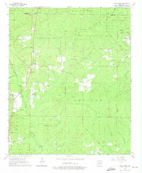
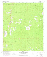
Hurricane Creek and the Saline River shape the low-lying timber and agricultural lands of Grant and Saline counties in the early 1960s. The landscape is defined by small, dispersed communities and a network of rural churches and cemeteries that anchor the local genealogy. Important landmarks include the Forest Tower Ch and its accompanying Lookout Tower, which stand near the county line. The map captures a moment when traditional land use, represented by several Gravel Pits, coexists with newer developments like the Flying D Ranch Landing Strip. Moving south through the area, U.S. 167 serves as the primary artery, passing near the Bethel Ch and the settlement of Cane Creek. Along the creek bottoms, numerous named branches like Twomile Branch and McKinney Creek drain the terrain toward the river, illustrating the complex hydrology of this central Arkansas region.
Find a feature on this map
52 named features on this map. Tap any name to fly to it.
Don’t see what you’re looking for? This feature index may not catch every label — zoom into the map to look around manually.
Map Details
Editions of this 1964 Cane Creek Map
4 editions found
Other maps of this area

1891 · Little Rock
USGS Topo · 1:125,000

1893 · Little Rock
USGS Topo · 1:125,000

1932 · Pastoria
USGS Topo · 1:62,500

1935 · Alexander
USGS Topo · 1:48,000

1935 · Pastoria
USGS Topo · 1:62,500

1940 · Woodson
USGS Topo · 1:31,680

1941 · Alexander
USGS Topo · 1:62,500

1944 · Spring Lake
USGS Topo · 1:31,680

1944 · Bryant
USGS Topo · 1:31,680
1954 · Woodson
USGS Topo · 1:24,000