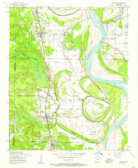
1954 Map of Woodson
USGS Topo · Published 1957About this map
The Arkansas River meanders through this landscape, defining a region where fertile bottomlands meet the established tracks of the Missouri Pacific railroad. Near the sharp river bends, the Arkansas Boys State Industrial School occupies a significant tract of land, while the settlements of Wrightsville, Woodson, and Hensley anchor the corridor along the rail line. The map reveals a dense network of local cemeteries and community centers, including Virginia Cemetery, Kuykendall Cemetery, and the Do Right Church.
Find a feature on this map
41 named features on this map. Tap any name to fly to it.
Don’t see what you’re looking for? This feature index may not catch every label — zoom into the map to look around manually.
Map Details
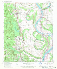
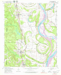
Editions of this 1954 Woodson Map
Other maps of this area

1891 · Little Rock
USGS Topo · 1:125,000

1893 · Little Rock
USGS Topo · 1:125,000

1932 · Pastoria
USGS Topo · 1:62,500

1935 · Little Rock
USGS Topo · 1:24,000

1935 · Sweet Home
USGS Topo · 1:24,000

1935 · Alexander
USGS Topo · 1:48,000

1935 · Pastoria
USGS Topo · 1:62,500

1939 · Keo
USGS Topo · 1:31,680

1940 · Woodson
USGS Topo · 1:31,680

1941 · Alexander
USGS Topo · 1:62,500