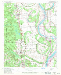
1954 Map of Woodson
USGS Topo · Published 1971About this map
Wrightsville and Woodson anchor this mid-century look at the alluvial lowlands south of Little Rock, where the landscape is defined by the shifting course of the Arkansas River. The settlement pattern follows a series of intricate bayous and sloughs, including Fourche Bayou and Kuykendall Brake, which create a complex drainage system across the Pulaski and Saline county line. Of particular note for local history is the presence of several rural congregations and family burial grounds, such as Cypress Church, Birden Cemetery, and New Eagle Church.
Find a feature on this map
36 named features on this map. Tap any name to fly to it.
Don’t see what you’re looking for? This feature index may not catch every label — zoom into the map to look around manually.
Map Details
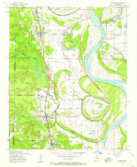
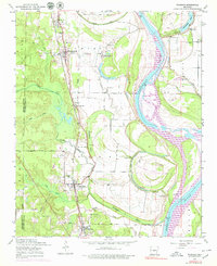
Editions of this 1954 Woodson Map
Other maps of this area

1891 · Little Rock
USGS Topo · 1:125,000

1893 · Little Rock
USGS Topo · 1:125,000

1932 · Pastoria
USGS Topo · 1:62,500

1935 · Little Rock
USGS Topo · 1:24,000

1935 · Sweet Home
USGS Topo · 1:24,000

1935 · Alexander
USGS Topo · 1:48,000

1935 · Pastoria
USGS Topo · 1:62,500

1939 · Keo
USGS Topo · 1:31,680

1940 · Woodson
USGS Topo · 1:31,680

1941 · Alexander
USGS Topo · 1:62,500