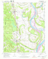
1954 Map of Woodson
USGS Topo · Published 1979About this map
Arkansas River meanders through this landscape south of Little Rock, defining a region where the floodplains meet the rising timbered hills. The Missouri Pacific railroad corridor serves as the primary spine for settlement, connecting the communities of Woodson, Wrightsville, and Hensley. This 1950s era survey captures a rural social fabric organized around small local institutions, including the Virginia Church, Do Right Church, and Cypress Church.
Find a feature on this map
51 named features on this map. Tap any name to fly to it.
Don’t see what you’re looking for? This feature index may not catch every label — zoom into the map to look around manually.
Map Details
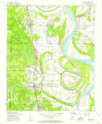
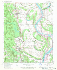
Editions of this 1954 Woodson Map
Other maps of this area

1891 · Little Rock
USGS Topo · 1:125,000

1893 · Little Rock
USGS Topo · 1:125,000

1932 · Pastoria
USGS Topo · 1:62,500

1935 · Little Rock
USGS Topo · 1:24,000

1935 · Sweet Home
USGS Topo · 1:24,000

1935 · Alexander
USGS Topo · 1:48,000

1935 · Pastoria
USGS Topo · 1:62,500

1939 · Keo
USGS Topo · 1:31,680

1940 · Woodson
USGS Topo · 1:31,680

1941 · Alexander
USGS Topo · 1:62,500