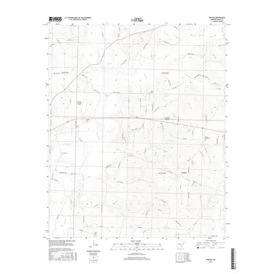
2017 Map of Prague
USGS Topo · Published 2017About this map
Prague and Center Grove anchor this survey of Grant County, where the landscape is defined by an intricate network of waterways and a dense forest road system. The terrain is deeply carved by drainage systems like Hurricane Cr and Derrieusseaux Cr, which flow through a region heavily utilized for timber management as evidenced by the numerous numbered forest routes. Local history and genealogy are well-represented by several community burial sites, including Hardin Cem and the Center Campground Cem near the intersection of the primary highways. The presence of the Sheridan Municipal Airport in the northwest corner highlights the area's modern infrastructure, while Horne Lake and Ray Cr suggest the importance of local water resources in this part of Arkansas. The road network, including Grant 72 and Co Rd 73, reveals a rural settlement pattern that remains closely tied to the natural contours of the creeks.
Find a feature on this map
100 named features on this map. Tap any name to fly to it.
Don’t see what you’re looking for? This feature index may not catch every label — zoom into the map to look around manually.
Map Details
Editions of this 2017 Prague Map
This is the sole edition of this map. No revisions or reprints were ever made.
Other maps of this area

1932 · Pastoria
USGS Topo · 1:62,500

1935 · Pastoria
USGS Topo · 1:62,500

1955 · Little Rock
USGS Topo · 1:250,000

1956 · Little Rock
USGS Topo · 1:250,000

1960 · Little Rock
USGS Topo · 1:250,000

1962 · Pine Bluff NW
USGS Topo · 1:24,000

1964 · Little Rock
USGS Topo · 1:250,000

1964 · Sheridan
USGS Topo · 1:24,000

1964 · Cane Creek
USGS Topo · 1:24,000

1964 · Belfast
USGS Topo · 1:24,000