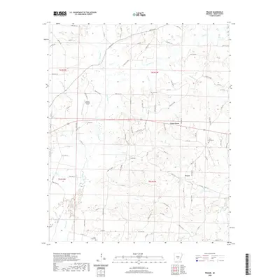
2020 Map of Prague
USGS Topo · Published 2020About this map
Prague and Center Grove anchor this part of Grant County, Arkansas, which is defined by a complex network of waterways feeding into the Saline River basin. The landscape is intricately partitioned by numerous creeks, including Hurricane Cr, White Oak Cr, and Derrieusseaux Cr, reflecting the region's traditional reliance on these natural drainages. Evidence of long-standing community heritage is preserved in several local burial grounds, such as Oak Grove Cem and the Center Campground Cem. Modern infrastructure like the Sheridan Municipal Airport sits alongside historic routes like Redfield Rd, showing the evolution of local travel from rural roads to aviation. This survey also documents Horne Lake and the various forest roads that wind through the timberlands, providing a clear picture of the area's geography and land use at the end of the second decade of the 2000s.
Find a feature on this map
101 named features on this map. Tap any name to fly to it.
Don’t see what you’re looking for? This feature index may not catch every label — zoom into the map to look around manually.
Map Details
Editions of this 2020 Prague Map
This is the sole edition of this map. No revisions or reprints were ever made.
Other maps of this area

1932 · Pastoria
USGS Topo · 1:62,500

1935 · Pastoria
USGS Topo · 1:62,500

1955 · Little Rock
USGS Topo · 1:250,000

1956 · Little Rock
USGS Topo · 1:250,000

1960 · Little Rock
USGS Topo · 1:250,000

1962 · Pine Bluff NW
USGS Topo · 1:24,000

1964 · Little Rock
USGS Topo · 1:250,000

1964 · Sheridan
USGS Topo · 1:24,000

1964 · Cane Creek
USGS Topo · 1:24,000

1964 · Belfast
USGS Topo · 1:24,000