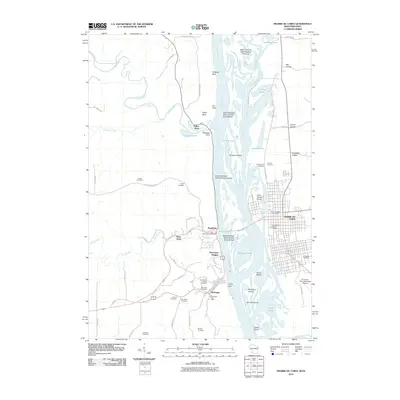
2010 Map of Prairie du Chien
USGS Topo · Published 2010About this map
Prairie du Chien and McGregor stand as historic sentinels on opposing banks of the Mississippi River, connected by bridges and centuries of riverfront activity. This 2010 survey illustrates the complex geography of the river valley, where numerous named islands like Saint Feriole Island and Scrogum Island navigate the braided channels. On the Wisconsin side, the urban grid of Prairie du Chien extends toward the Evergreen Cemetery and the Prairie du Chien Municipal Airport, while the Iowa shore is defined by the steep bluffs of McGregor Heights and the winding course of Bloody Run.
Find a feature on this map
70 named features on this map. Tap any name to fly to it.
Don’t see what you’re looking for? This feature index may not catch every label — zoom into the map to look around manually.
Map Details
Editions of this 2010 Prairie du Chien Map
This is the sole edition of this map. No revisions or reprints were ever made.
Other maps of this area

1902 · Elkader
USGS Topo · 1:125,000

1903 · Waukon
USGS Topo · 1:125,000

1929 · Prairie Du Chien
USGS Topo · 1:62,500

1932 · Prairie Du Chien
USGS Topo · 1:62,500

1958 · La Crosse
USGS Topo · 1:250,000

1959 · Dubuque
USGS Topo · 1:250,000

1961 · Dubuque
USGS Topo · 1:250,000

1961 · La Crosse
USGS Topo · 1:250,000

1962 · Dubuque
USGS Topo · 1:250,000

1962 · Clayton
USGS Topo · 1:24,000