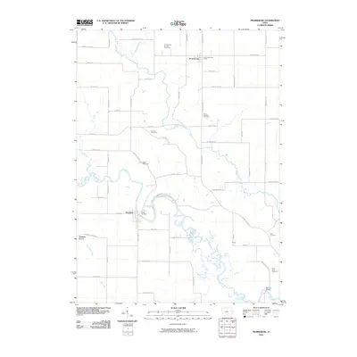
2010 Map of Prairieburg
USGS Topo · Published 2010About this map
The Wapsipinicon River carves a winding path through this Linn County landscape, defining the character of the river valley as it was documented in 2010. The town of Prairieburg sits at the northern end of the quadrangle, anchored by the Prairieburg Post Office and nearby Saint Josephs Cemetery. To the south, the settlement of Waubeek rests near a dramatic bend in the river, adjacent to recreation areas like Camp Waubeek and Camp Wakomda.
Find a feature on this map
63 named features on this map. Tap any name to fly to it.
Don’t see what you’re looking for? This feature index may not catch every label — zoom into the map to look around manually.
Map Details
Editions of this 2010 Prairieburg Map
This is the sole edition of this map. No revisions or reprints were ever made.
Other maps of this area

1888 · Marion
USGS Topo · 1:62,500

1889 · Marion
USGS Topo · 1:62,500

1890 · Anamosa
USGS Topo · 1:62,500

1900 · Anamosa
USGS Topo · 1:125,000

1903 · Winthrop
USGS Topo · 1:125,000

1959 · Dubuque
USGS Topo · 1:250,000

1961 · Dubuque
USGS Topo · 1:250,000

1962 · Dubuque
USGS Topo · 1:250,000
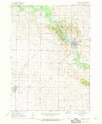
1968 · Central City
USGS Topo · 1:24,000
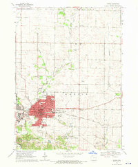
1968 · Marion
USGS Topo · 1:24,000