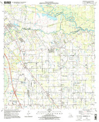
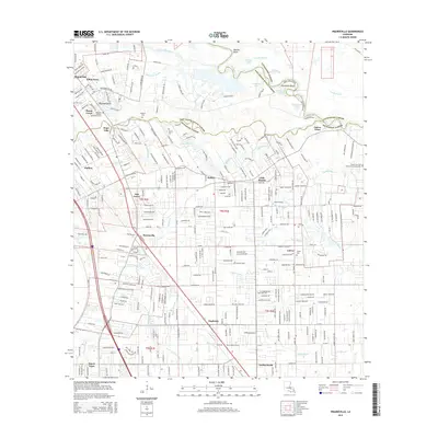
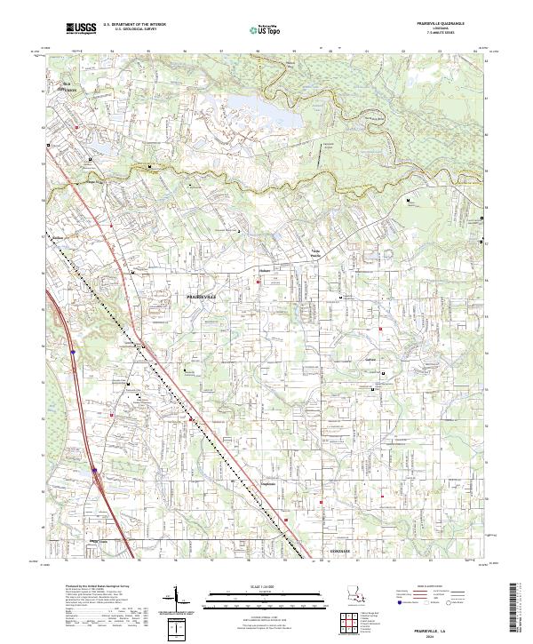
1995 Map of Prairieville
USGS Topo · Published 1998About this map
Manchac Bayou winds through the heart of this landscape, marking the transition from the lowlands of East Baton Rouge Parish into Ascension Parish. The mid-1990s settlement pattern is defined by suburban expansion around Prairieville, where residential plots and numerous "Sew Disp Ponds" dot the grid. Local community life is anchored by a dense network of country churches, including Mt Gillian Ch, St Paul Ch, and Gospel Lighthouse Ch.
Find a feature on this map
65 named features on this map. Tap any name to fly to it.
Don’t see what you’re looking for? This feature index may not catch every label — zoom into the map to look around manually.
Map Details
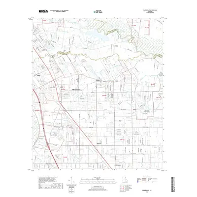
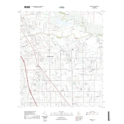
Editions of this 1995 Prairieville Map
This is the sole edition of this map. No revisions or reprints were ever made.
Historical Maps of St. George Through Time
9 maps found
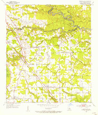
1953 Prairieville
Ascension Parish, LA

1963 Prairieville
Ascension Parish, LA
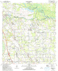
1991 Prairieville
Ascension Parish, LA
1995 Prairieville
Ascension Parish, LA
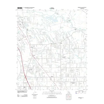
2012 Prairieville
Ascension Parish, LA
2015 Prairieville
Ascension Parish, LA
2018 Prairieville
Ascension Parish, LA
2020 Prairieville
Ascension Parish, LA
2024 Prairieville
Ascension Parish, LA