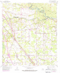
1963 Map of Prairieville
USGS Topo · Published 1984About this map
Kansas City Southern rail lines anchor the landscape of this region where East Baton Rouge, Ascension, and Livingston parishes converge. The 1963 revision of this area reveals a network of small settlements and rural nodes including Hope Villa, Duplessis, and Galvez. This map shows a transition from the winding course of the Amite River and its numerous oxbow lakes, such as Horseshoe Lake and Sportsman Lake, to the low-lying wetlands of Bluff Swamp and Manchac Bayou. Local institutional life is preserved through numerous rural landmarks, including the Prairieville Sch and several churches like Broussard Grove Ch and New Light Ch. The layout of parish boundaries reflects the complex hydrological character of the river lowlands, where family-named sites like Hillman Cem and Milford Cem mark the enduring traces of early settlement patterns.
Find a feature on this map
49 named features on this map. Tap any name to fly to it.
Don’t see what you’re looking for? This feature index may not catch every label — zoom into the map to look around manually.
Map Details
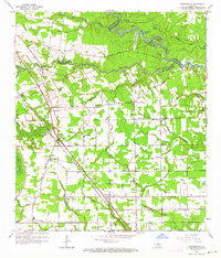
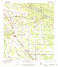
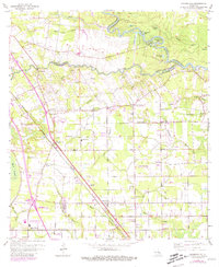
Editions of this 1963 Prairieville Map
4 editions found
Other maps of this area

1892 · Donaldsonville
USGS Topo · 1:62,500

1908 · Baton Rouge
USGS Topo · 1:62,500

1934 · Denham Springs
USGS Topo · 1:62,500

1935 · Gonzales
USGS Topo · 1:31,680

1936 · White Castle
USGS Topo · 1:62,500

1939 · Denham Springs
USGS Topo · 1:62,500

1939 · Baton Rouge
USGS Topo · 1:62,500

1939 · Donaldsonville
USGS Topo · 1:62,500

1947 · Sorrento
USGS Topo · 1:31,680

1953 · Walker
USGS Topo · 1:24,000