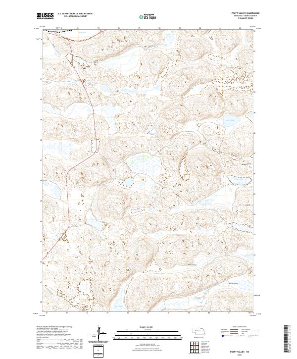
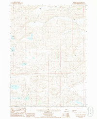
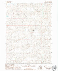
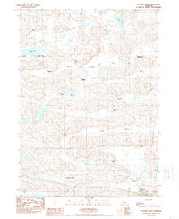
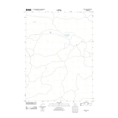
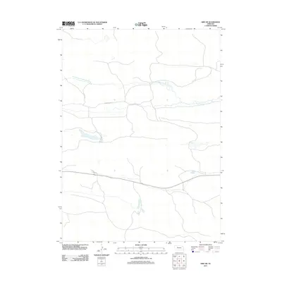
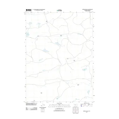
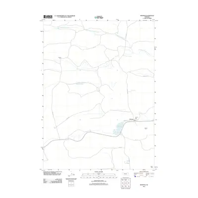
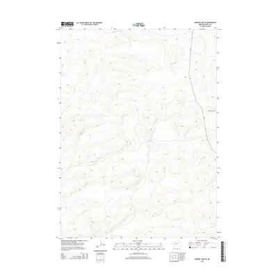
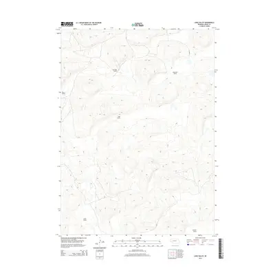
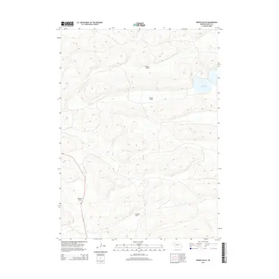
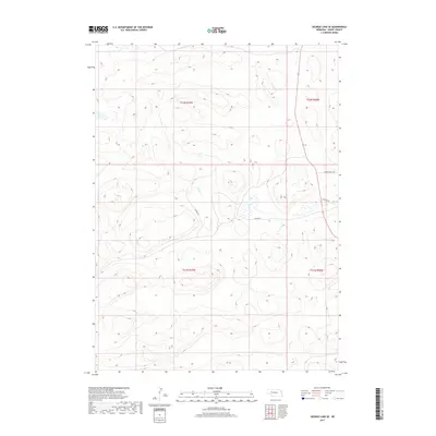
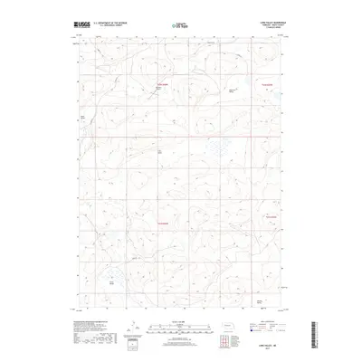
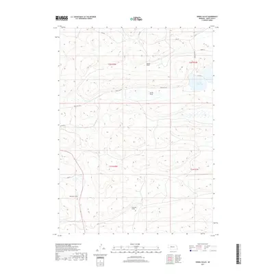
2021 Map of Pratt Valley
USGS Topo · Published 2021About this map
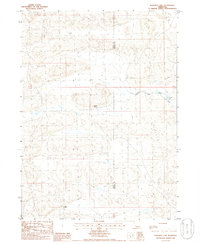
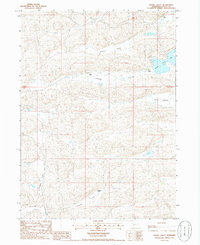
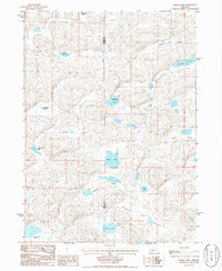
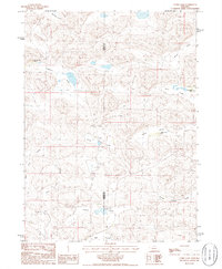
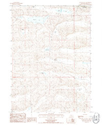
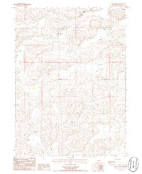
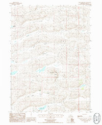
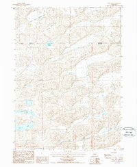
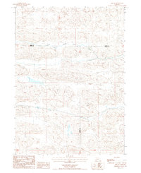
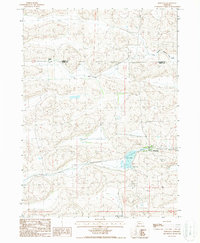
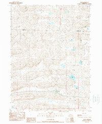
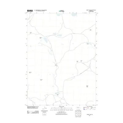
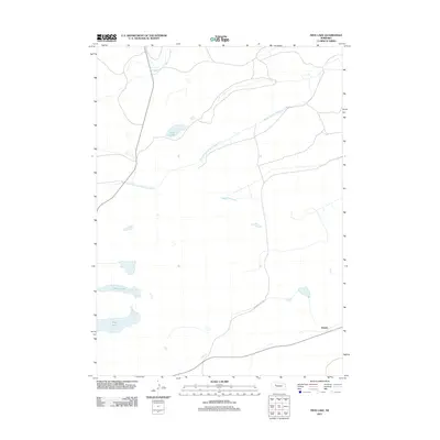
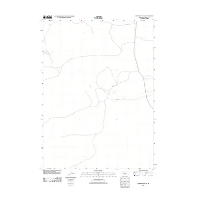
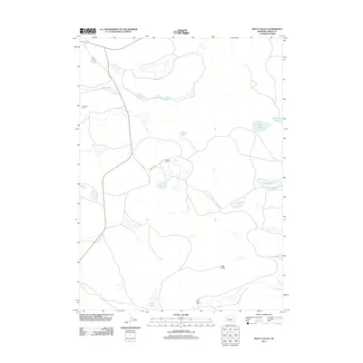
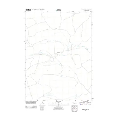
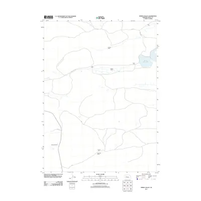
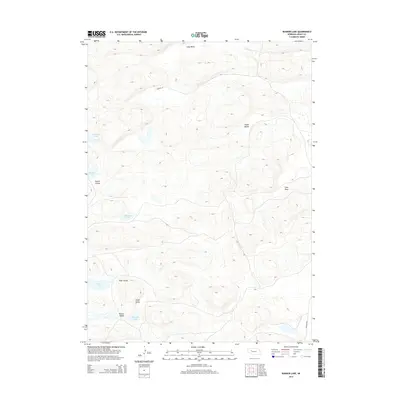
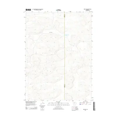
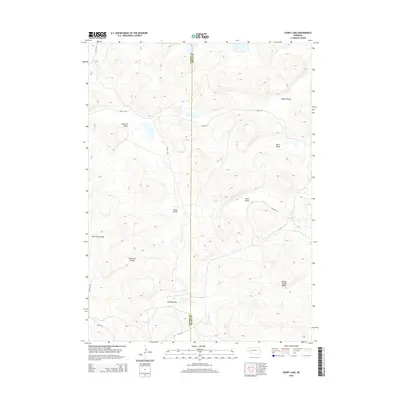
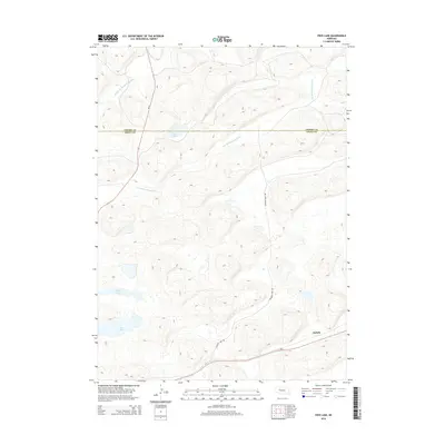
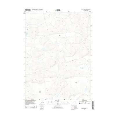
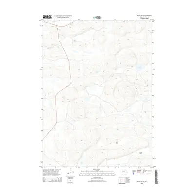
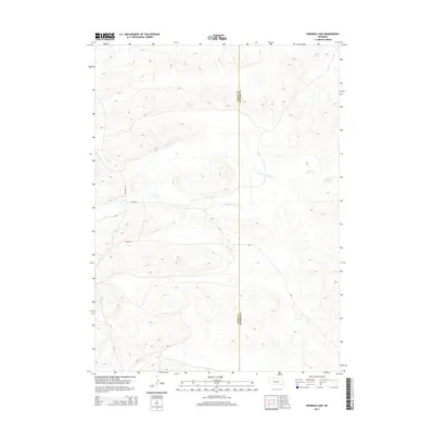
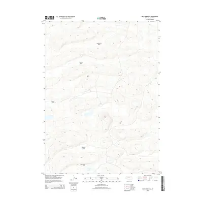
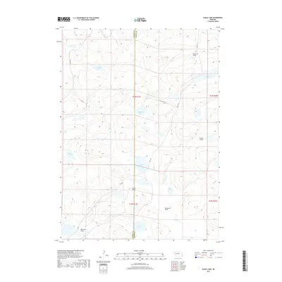
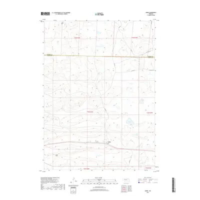
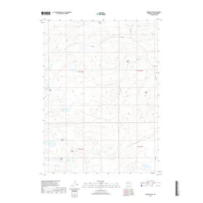
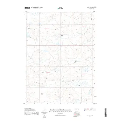
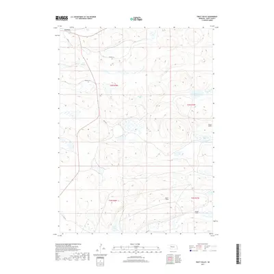
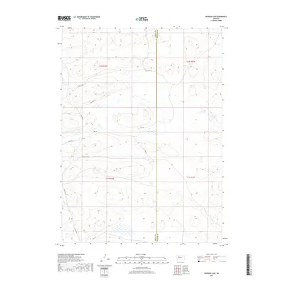
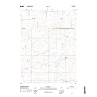
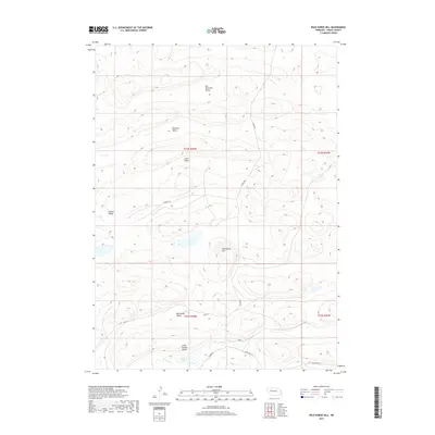
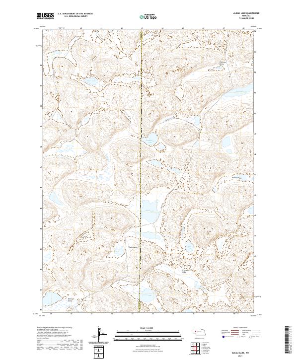
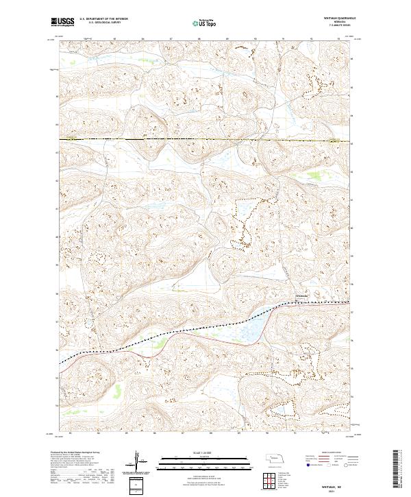
Hyannis serves as the primary outpost in this corner of the Nebraska Sandhills, where a complex network of wetlands and shallow basins defines the local geography. The landscape is characterized by its numerous natural water bodies, including Beem Lake, Long Lake, and the centrally located Muskrat Lake. These aquatic features are interspersed with prominent depressions such as Pratt Valley and Round Valley, which historically dictated the movement of cattle and early settlers through the dunes. Transportation in the modern era relies on rural corridors like Morcroft Ln and Lynch Rd, tracing paths between seasonal marshes like Negro Lake and Scotty Lake. Further south, Winnie Valley and the area around Split Lake highlight the low-lying terrain that continues to shape the ranching economy of Grant County.
Find a feature on this map
20 named features on this map. Tap any name to fly to it.
Don’t see what you’re looking for? This feature index may not catch every label — zoom into the map to look around manually.
Map Details
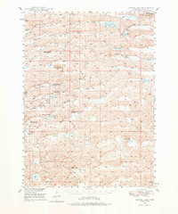
Editions of this 2021 Pratt Valley Map
This is the sole edition of this map. No revisions or reprints were ever made.
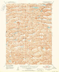
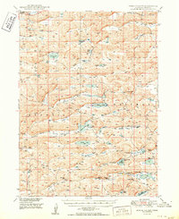
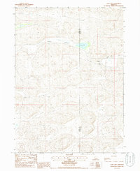
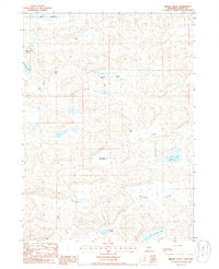
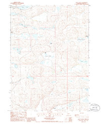
Historical Maps of Hyannis Through Time
89 maps found
1948 George Lake
Grant County, NE

1948 Spring Valley
Grant County, NE
1950 George Lake
Grant County, NE
1950 Spring Valley
Grant County, NE
1985 Bunner Lake
Grant County, NE
1985 Carr Lake
Grant County, NE
1985 Middle Valley
Grant County, NE
1985 Pratt Valley
Grant County, NE
1985 Rosebud Lake
Grant County, NE
1985 Spring Valley
Grant County, NE
1986 Alkali Lake
Grant County, NE
1986 Curry Lake
Grant County, NE
1986 George Lake SE
Grant County, NE
1986 Hyannis South
Grant County, NE
1986 Long Valley
Grant County, NE
1986 Wild Horse Hill
Grant County, NE
1987 Frye Lake
Grant County, NE
1987 Hire SW
Grant County, NE
1987 Whitman
Grant County, NE
1989 Ashby
Grant County, NE
1989 Hyannis North
Grant County, NE
2011 Alkali Lake
Grant County, NE
2011 Ashby
Grant County, NE
2011 Bunner Lake
Grant County, NE
2011 Carr Lake
Grant County, NE
2011 Curry Lake
Grant County, NE
2011 Frye Lake
Grant County, NE
2011 George Lake SE
Grant County, NE
2011 Hire SW
Grant County, NE
2011 Hyannis North
Grant County, NE
2011 Hyannis South
Grant County, NE
2011 Long Valley
Grant County, NE
2011 Middle Valley
Grant County, NE
2011 Pratt Valley
Grant County, NE
2011 Rosebud Lake
Grant County, NE
2011 Spring Valley
Grant County, NE
2011 Whitman
Grant County, NE
2011 Wild Horse Hill
Grant County, NE
2014 Alkali Lake
Grant County, NE
2014 Ashby
Grant County, NE
2014 Bunner Lake
Grant County, NE
2014 Carr Lake
Grant County, NE
2014 Curry Lake
Grant County, NE
2014 Frye Lake
Grant County, NE
2014 George Lake SE
Grant County, NE
2014 Hire SW
Grant County, NE
2014 Hyannis North
Grant County, NE
2014 Hyannis South
Grant County, NE
2014 Long Valley
Grant County, NE
2014 Middle Valley
Grant County, NE
2014 Pratt Valley
Grant County, NE
2014 Rosebud Lake
Grant County, NE
2014 Spring Valley
Grant County, NE

2014 Whitman
Grant County, NE
2014 Wild Horse Hill
Grant County, NE
2017 Alkali Lake
Grant County, NE
2017 Ashby
Grant County, NE
2017 Bunner Lake
Grant County, NE
2017 Carr Lake
Grant County, NE
2017 Curry Lake
Grant County, NE
2017 Frye Lake
Grant County, NE
2017 George Lake SE
Grant County, NE
2017 Hire SW
Grant County, NE
2017 Hyannis North
Grant County, NE
2017 Hyannis South
Grant County, NE
2017 Long Valley
Grant County, NE
2017 Middle Valley
Grant County, NE
2017 Pratt Valley
Grant County, NE
2017 Rosebud Lake
Grant County, NE
2017 Spring Valley
Grant County, NE
2017 Whitman
Grant County, NE
2017 Wild Horse Hill
Grant County, NE
2021 Alkali Lake
Grant County, NE

2021 Ashby
Grant County, NE
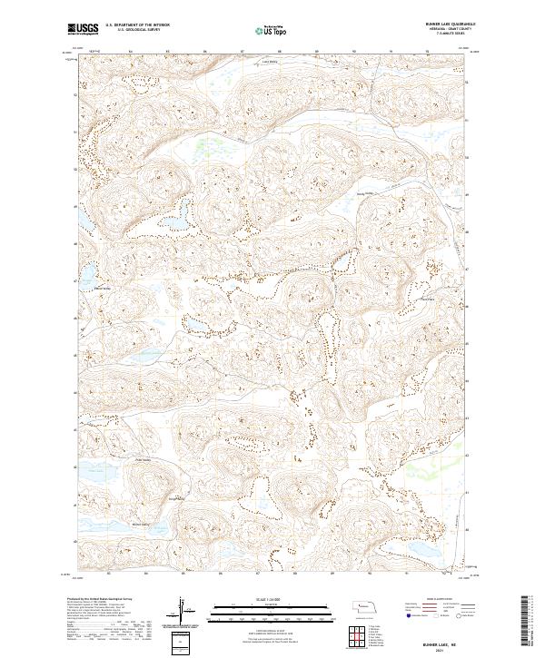
2021 Bunner Lake
Grant County, NE
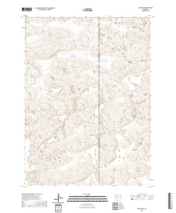
2021 Carr Lake
Grant County, NE
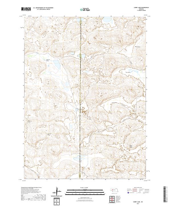
2021 Curry Lake
Grant County, NE
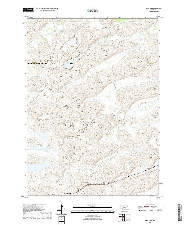
2021 Frye Lake
Grant County, NE
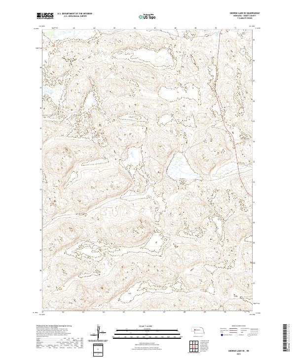
2021 George Lake SE
Grant County, NE
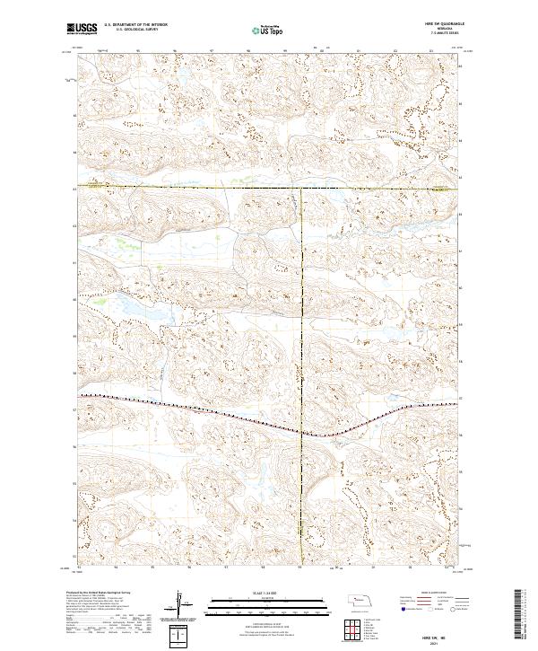
2021 Hire SW
Grant County, NE
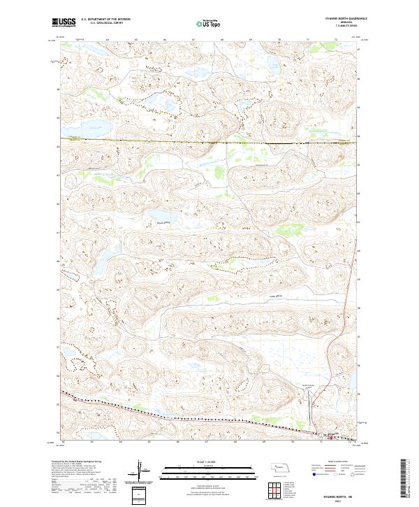
2021 Hyannis North
Grant County, NE
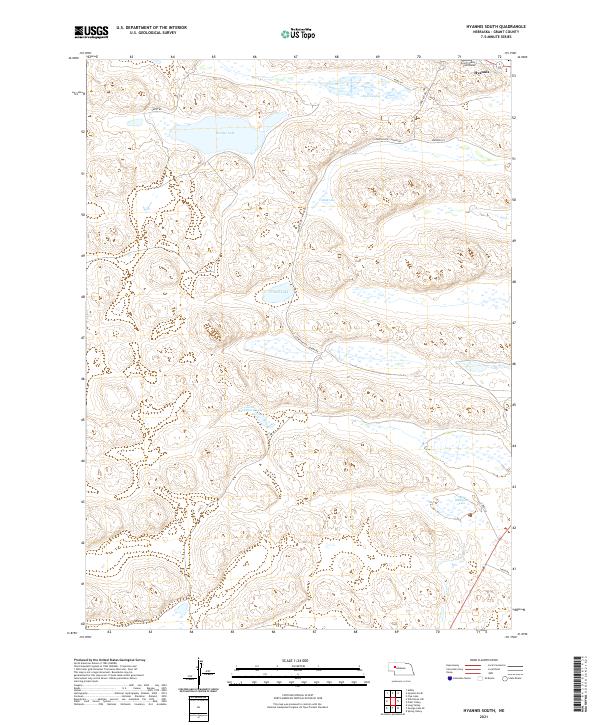
2021 Hyannis South
Grant County, NE
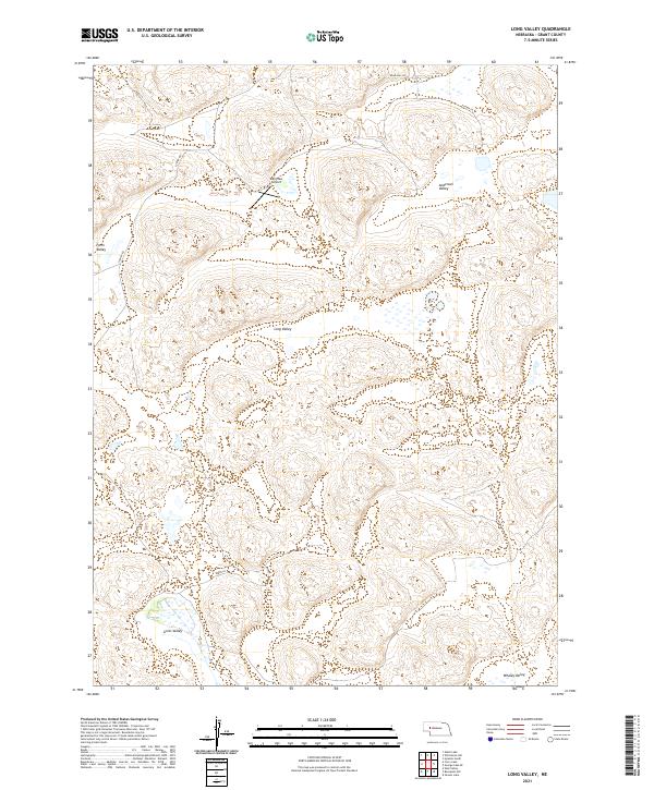
2021 Long Valley
Grant County, NE
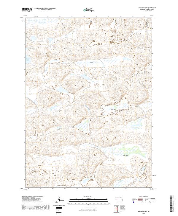
2021 Middle Valley
Grant County, NE
2021 Pratt Valley
Grant County, NE
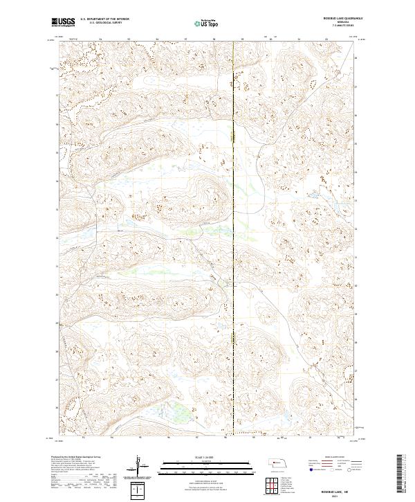
2021 Rosebud Lake
Grant County, NE
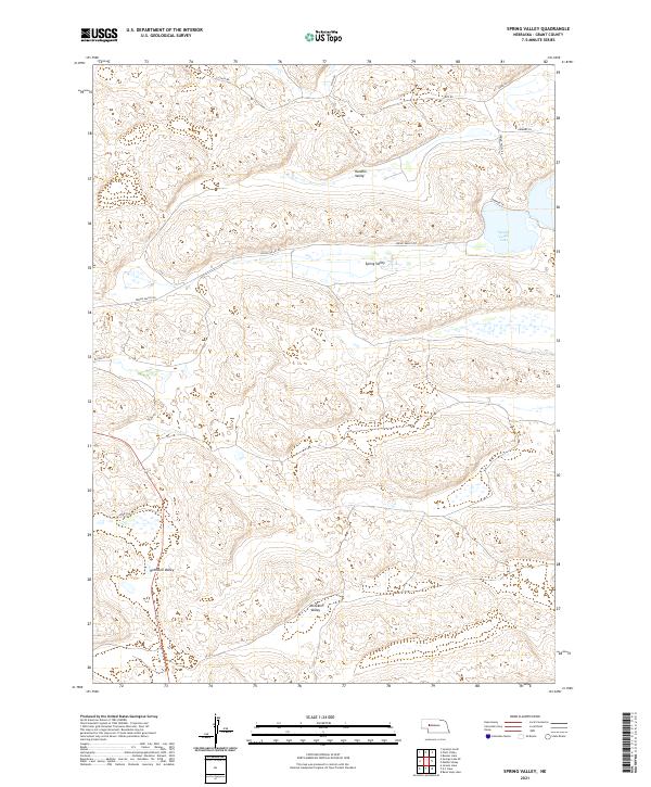
2021 Spring Valley
Grant County, NE
2021 Whitman
Grant County, NE
2021 Wild Horse Hill
Grant County, NE