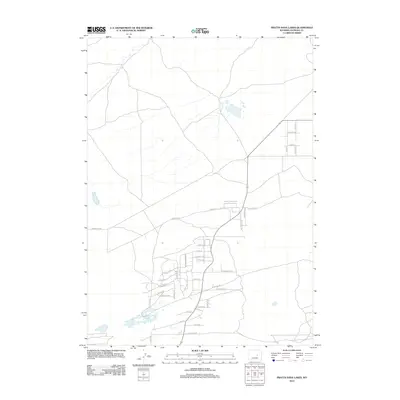
2012 Map of Pratts Soda Lakes
USGS Topo · Published 2012About this map
Suburban expansion and named residential developments define the Natrona County landscape near Evansville in the early twenty-first century. The map reveals an intricate street network with desert-themed and jewel-toned nomenclature, including Turquoise St, E Jade St, and E Opal St. This residential footprint is centered around a dense grid where Desert Flower Dr and Sand Dune Dr intersect, illustrating the growth of neighborhoods south of the more industrial and transit-heavy corridors.
Find a feature on this map
40 named features on this map. Tap any name to fly to it.
Don’t see what you’re looking for? This feature index may not catch every label — zoom into the map to look around manually.
Map Details
Editions of this 2012 Pratts Soda Lakes Map
This is the sole edition of this map. No revisions or reprints were ever made.
Other maps of this area

1949 · Brookhurst
USGS Topo · 1:24,000

1949 · Campbell Hill
USGS Topo · 1:24,000

1949 · Pratts Soda Lakes
USGS Topo · 1:24,000

1950 · Campbell Hill
USGS Topo · 1:24,000

1950 · Lockett
USGS Topo · 1:24,000

1950 · Brookhurst
USGS Topo · 1:24,000

1950 · Pratts Soda Lakes
USGS Topo · 1:24,000

1951 · The Reefs
USGS Topo · 1:24,000

1951 · Casper
USGS Topo · 1:24,000

1955 · Arminto
USGS Topo · 1:250,000