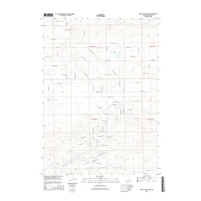
2015 Map of Pratts Soda Lakes
USGS Topo · Published 2015About this map
Pratts Soda Lakes and the nearby Suicide Soda Lake anchor this 2015 look at Natrona County's evolving high-plains landscape. The road network reflects a unique blend of historical western motifs and modern residential expansion. Arteries such as Pony Express Dr, Wagon Train Way, and Branding Iron Blvd snake across the township lines of t35n r78w and t34n r78w, signaling a transition from open rangeland to a structured suburban grid. This area north of Casper shows a dense web of themed streets, from the classical Acropolis and Forum to the desert-inspired Desert Rose Dr and E Chameleon St. The map captures a moment of intensive land division, where the rugged character of Cole Creek Rd meets a rising community marked by local landmarks like Dream Catcher Dr and Sundance Dr.
Find a feature on this map
71 named features on this map. Tap any name to fly to it.
Don’t see what you’re looking for? This feature index may not catch every label — zoom into the map to look around manually.
Map Details
Editions of this 2015 Pratts Soda Lakes Map
This is the sole edition of this map. No revisions or reprints were ever made.
Other maps of this area

1949 · Brookhurst
USGS Topo · 1:24,000

1949 · Campbell Hill
USGS Topo · 1:24,000

1949 · Pratts Soda Lakes
USGS Topo · 1:24,000

1950 · Campbell Hill
USGS Topo · 1:24,000

1950 · Lockett
USGS Topo · 1:24,000

1950 · Brookhurst
USGS Topo · 1:24,000

1950 · Pratts Soda Lakes
USGS Topo · 1:24,000

1951 · The Reefs
USGS Topo · 1:24,000

1951 · Casper
USGS Topo · 1:24,000

1955 · Arminto
USGS Topo · 1:250,000